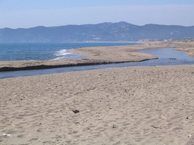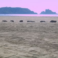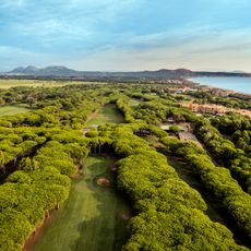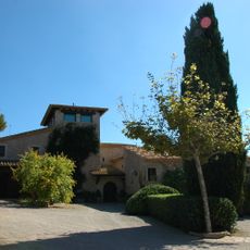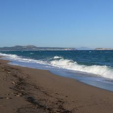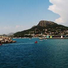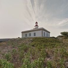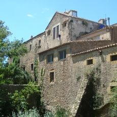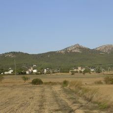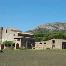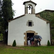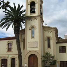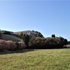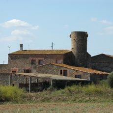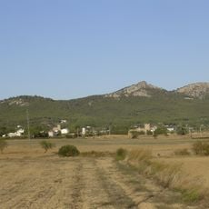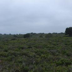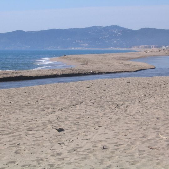
Gola del Ter, River mouth intersection in Torroella de Montgrí, Spain.
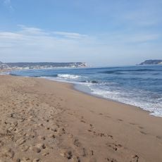
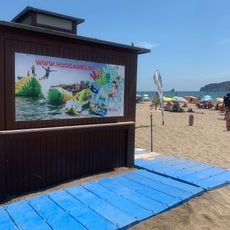
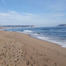
Gola del Ter is the current mouth of the Ter river in Torroella de Montgrí, where it meets the Mediterranean between the Pletera beach to the north and the Fonollera beach to the south. The channel cuts through sand and low dunes, with riverbank woodland and salt-tolerant vegetation such as glasswort and tamarisk along its banks.
The Ter once reached the sea at three points; the northern branch was cut around 1302 near Canet de la Tallada by works ordered by Count Ponç Hug IV of Empúries, which led to a lawsuit with King Jaume el Just, lord of Torroella. Floods in 1311 broke the dikes and the river regained its north-east arm. For centuries the Ter kept two mouths, Ter Vell and the Gola, with a deltaic island between them, until the northern arm was cut in the 18th century to farm the island.
The river mouth lies between the Pletera beach, continuing from l'Estartit, and the Fonollera beach. The surrounding riverbank woods and salt-tolerant plant communities — glasswort, tamarisk and rush beds — are studied because invasive species such as Cortaderia selloana and Carpobrotus edulis have spread there in recent years.
The mouth lies between the Pletera beach, continuing the Estartit beach to the north, and the Fonollera beach to the south, in the municipality of Torroella de Montgrí. The surrounding dunes were fixed in the 19th century; since the Sau and Susqueda dams were built in the mid-20th century, sediment supply has dropped.
The Ter once reached the sea at three points: besides the Gola, one lay between l'Escala and Sant Martí d'Empúries and another near l'Estartit, today's Ter Vell, with coastal lagoons between them. The northern arm was cut around 1302 near Canet de la Tallada by works of Count Ponç Hug IV of Empúries, disputed with King Jaume el Just.
The community of curious travelers
AroundUs brings together thousands of curated places, local tips, and hidden gems, enriched daily by 94,216 contributors worldwide.