
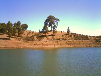
Pino de Casandra
Location: Tejeda
Elevation above the sea: 903 m
GPS coordinates: 27.92407,-15.67228
Latest update: March 4, 2025 08:53
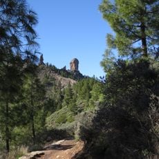
Roque Nublo
7.8 km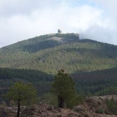
Pico de las Nieves
10.7 km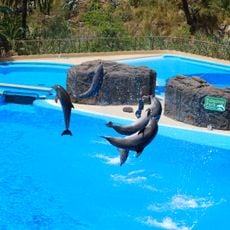
Palmitos Park
11.3 km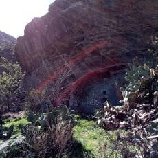
Risco Caido
13.3 km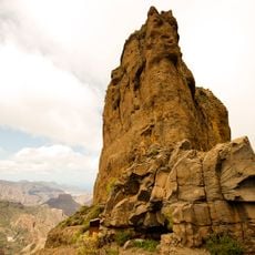
Roque Bentayga
8.1 km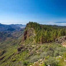
Parque Rural del Nublo
7.8 km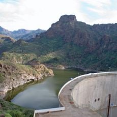
Presa de Soria
2.1 km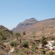
Pilancones Natural Park
6.8 km
Inagua
3.4 km
Parador de Cruz de Tejeda
11.6 km
Fuente de los Azulejos
5.6 km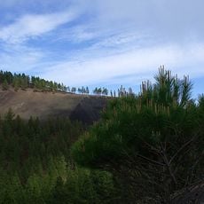
Montañón Negro
13.2 km
Acusa
8.5 km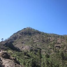
Montaña de Tauro
3.7 km
Fataga
11.4 km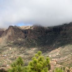
Riscos de Tirajana
9.1 km
Gran Canaria
12.2 km
Molino de Cazorla
11.1 km
Cactualdea
11.3 km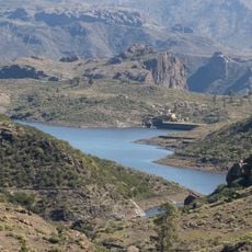
Presa de las Niñas
400 m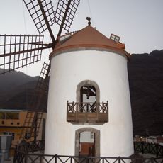
Molino Quemado
7.8 km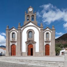
Church of Santa Lucía
12.9 km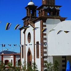
Iglesia de San Mathìas
11 km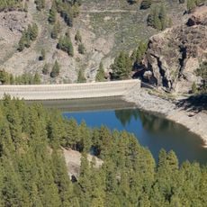
Presa de los Hornos
8.9 km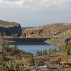
Chira Reservoir
3.7 km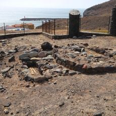
Archaeological area of Los Caserones
13 km
Montañón Negro
13.2 km
Parralillo Reservoir
8.2 kmReviews
Visited this place? Tap the stars to rate it and share your experience / photos with the community! Try now! You can cancel it anytime.
Discover hidden gems everywhere you go!
From secret cafés to breathtaking viewpoints, skip the crowded tourist spots and find places that match your style. Our app makes it easy with voice search, smart filtering, route optimization, and insider tips from travelers worldwide. Download now for the complete mobile experience.

A unique approach to discovering new places❞
— Le Figaro
All the places worth exploring❞
— France Info
A tailor-made excursion in just a few clicks❞
— 20 Minutes