Enable Location

We need your location to show you interesting places around you

Discover nearby places

Find interesting locations and hidden gems around you

Precise directions

Get accurate directions and distances to places

Your location is never shared with other users. It's only used when you tap the location button.

Arras

Log in to your account

Start exploring — it's free

Trusted by 63,760 travelers worldwide

Continue with Google
Continue with Apple
or

We will send you a code to connect

By continuing, you accept our Terms and Conditions and our Privacy Policy

Check your inbox

We've sent a pincode in your inbox. Please enter the code below.

Discussion Reviews 5 Photos
163k Popularity

Arras, Prefecture city in Pas-de-Calais, France

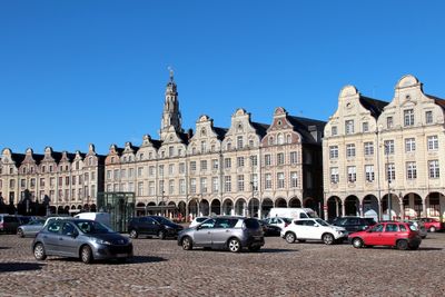
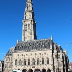
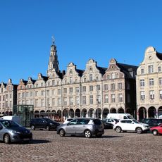
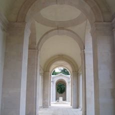
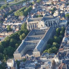
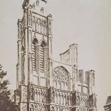
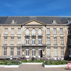
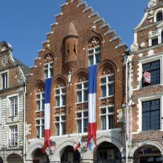
Arras is a prefecture town in the Pas-de-Calais department of northern France, known for its Flemish-inspired squares and Baroque architecture. The old town stretches between the Grand Place and Place des Héros, both lined by continuous rows of houses with arched arcades on the ground floor.

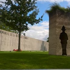
The town became famous during the Middle Ages as a center for tapestry weaving, with works prized across Europe. It was nearly destroyed during the First World War and faithfully rebuilt in the 1920s.

The name comes from the Atrebates, a Celtic tribe that settled here over two millennia ago. Locals speak French with a slight northern accent and maintain culinary traditions such as andouillette sausages and local beers from small breweries.

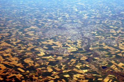
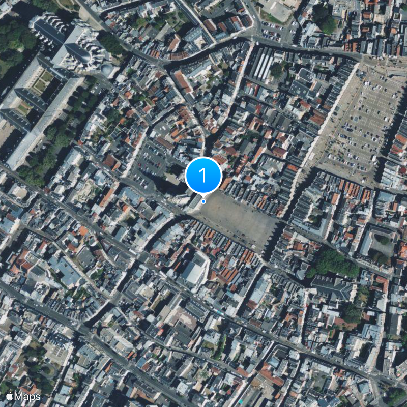
The central railway station offers regular train connections to Paris, Lille and other towns in the north of the country. The two main squares lie close together and can be easily reached on foot, with the historic center remaining compact.

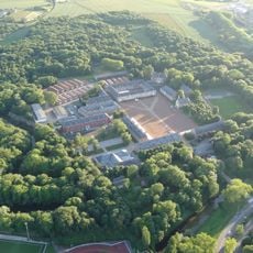
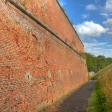
The underground quarry galleries stretch for several kilometers beneath the streets and served as shelters for thousands of soldiers during the First World War. A large section of these vaults is now open to visitors and shows traces from different centuries.

The community of curious travelers

AroundUs brings together thousands of curated places, local tips, and hidden gems, enriched daily by 60,000 contributors worldwide.

Start exploring
Location
Location
Communauté urbaine d'Arras
Elevation above the sea
76 m
Shares border with
Saint-Laurent-Blangy, Achicourt, Sainte-Catherine, Saint-Nicolas, Tilloy-lès-Mofflaines, Anzin-Saint-Aubin, Beaurains, Dainville, Duisans
Address
Arras, France
Phone
GPS coordinates
50.29105,2.77722
Latest update
December 15, 2025 00:59
Reviews
Share your experience

No review yet

Discussions
Start a discussion...

No discussion yet

« Arras - Prefecture city in Pas-de-Calais, France » is provided by Around Us (aroundus.com). Images and texts are derived from Wikimedia project under a Creative Commons license. You are allowed to copy, distribute, and modify copies of this page, under the conditions set by the license, as long as this note is clearly visible.

Discover hidden gems everywhere you go!

From secret cafés to breathtaking viewpoints, skip the crowded tourist spots and find places that match your style. Our app makes it easy with voice search, smart filtering, route optimization, and insider tips from travelers worldwide. Download now for the complete mobile experience.

Around Us App Screenshot

A unique approach to discovering new places

Le Figaro

All the places worth exploring

France Info

A tailor-made excursion in just a few clicks

20 Minutes

Around Us
Travel Guide & Maps
Download

Send to your phone

QR Code
1

Open the camera app on your mobile.

2

Point at the QR code with your camera. A notification will appear.

3

Tap the notification to open the link.