Enable Location

We need your location to show you interesting places around you

Discover nearby places

Find interesting locations and hidden gems around you

Precise directions

Get accurate directions and distances to places

Your location is never shared with other users. It's only used when you tap the location button.

Alès

Log in to your account

Start exploring — it's free

Trusted by 62,457 travelers worldwide

Continue with Google
Continue with Apple
or

We will send you a code to connect

By continuing, you accept our Terms and Conditions and our Privacy Policy

Check your inbox

We've sent a pincode in your inbox. Please enter the code below.

Alès, Administrative center in Gard, France

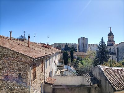
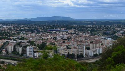
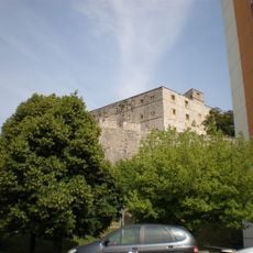
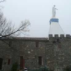
Alès is an administrative center in the Gard département of southeastern France, stretching along the Gardon d'Alès River at about 134 meters (440 feet) elevation. The commune sits at the foot of the Cévennes range and forms a hub for several surrounding cantons.

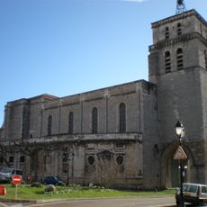
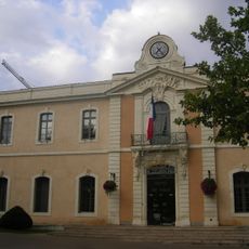
The Romans called the site Alestium and established an early settlement here, which received its charter in 1200. In 1243 the area was incorporated into the French kingdom and grew into a regional center.

The name derives from Latin Alestium, pointing to an early settlement by the river. Today the town serves as an administrative hub for surrounding communities and draws visitors who want to experience life in a mid-sized southern French commune.

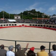
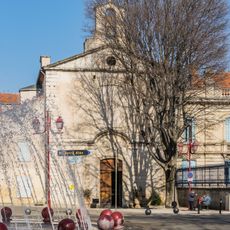
Weekly markets take place on Tuesday, Thursday, Saturday, Monday, and Friday, offering fresh produce and regional goods. The town serves as a starting point for walks in the Cévennes and for exploring the surrounding countryside.

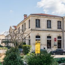
The École des Mines, a technical school, has trained engineers since its founding and remains an important educational site. Plane trees line many streets and promenades, shaping the townscape with their shade.

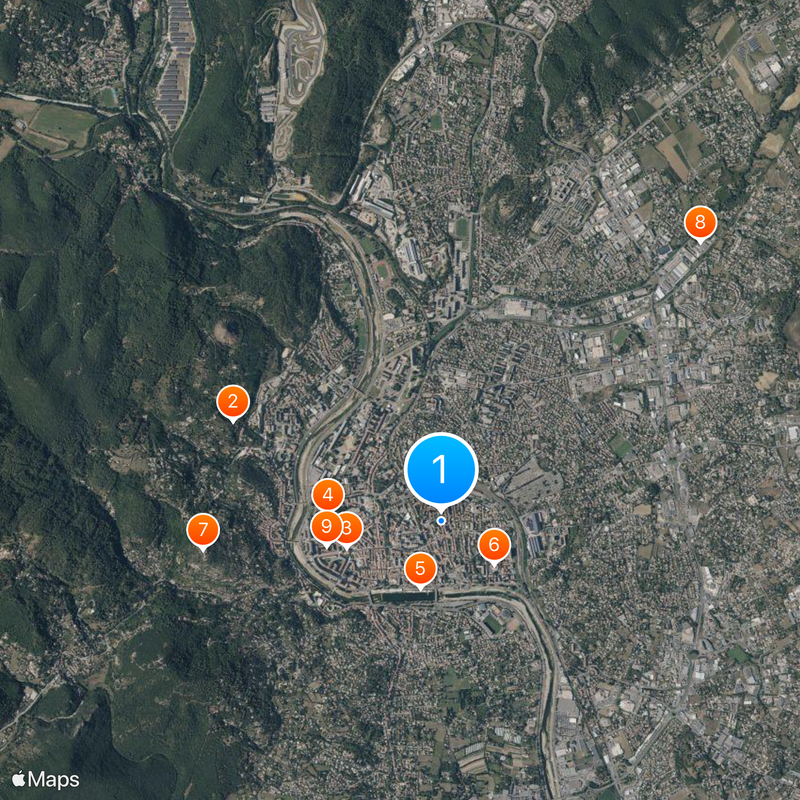
The community of curious travelers

AroundUs brings together thousands of curated places, local tips, and hidden gems, enriched daily by 60,000 contributors worldwide.

Start exploring
Location
Elevation above the sea
153 m
Shares border with
Cendras, Saint-Christol-lez-Alès, Saint-Hilaire-de-Brethmas, Saint-Jean-du-Pin, Saint-Martin-de-Valgalgues, Saint-Privat-des-Vieux
Address
30100 Alès, France
Phone
Website
GPS coordinates
44.12537,4.08528
Latest update
December 15, 2025 01:43
« Alès - Administrative center in Gard, France » is provided by Around Us (aroundus.com). Images and texts are derived from Wikimedia project under a Creative Commons license. You are allowed to copy, distribute, and modify copies of this page, under the conditions set by the license, as long as this note is clearly visible.

Discover hidden gems everywhere you go!

From secret cafés to breathtaking viewpoints, skip the crowded tourist spots and find places that match your style. Our app makes it easy with voice search, smart filtering, route optimization, and insider tips from travelers worldwide. Download now for the complete mobile experience.

Around Us App Screenshot

A unique approach to discovering new places

Le Figaro

All the places worth exploring

France Info

A tailor-made excursion in just a few clicks

20 Minutes

Around Us
Travel Guide & Maps
Download

Send to your phone

QR Code
1

Open the camera app on your mobile.

2

Point at the QR code with your camera. A notification will appear.

3

Tap the notification to open the link.