Canton of Saint-Astier, canton of France
Location: Dordogne
Inception: March 22, 2015
Capital city: Saint-Astier
GPS coordinates: 45.14604,0.57132
Latest update: April 17, 2025 14:37
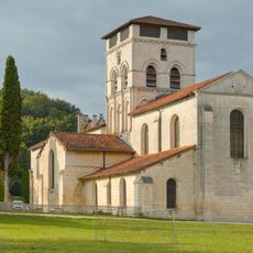
Our-Lady of the Assumption Chancelade abbey
10.1 km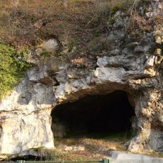
Raymonden
10.5 km
Château de Grignols
7.5 km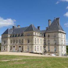
Château de Fayolle
10.8 km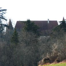
Château de Puyferrat
5.1 km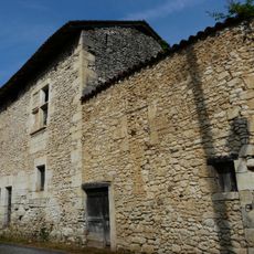
Commanderie des Andrivaux
8.4 km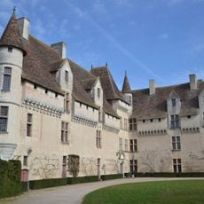
Château de Neuvic
8.9 km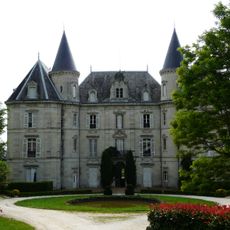
Château de la Roche
6.4 km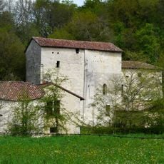
Prieuré de Merlande
11.6 km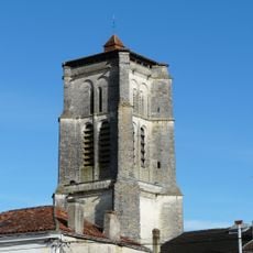
Église Saint-Astier
3.3 km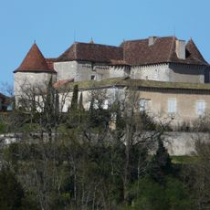
Château du Puy-Saint-Astier
2.7 km
Château de Beauséjour
14.2 km
Château de Vernode
13.6 km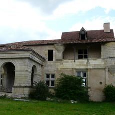
Château de la Rolphie
7 km
Parc botanique de Neuvic
9.4 km
Golf Public de Périgueux
9.4 km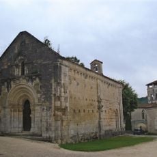
Chapelle Saint-Jean
10.1 km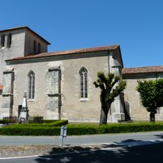
Église Saint-Front de Bruc
6.9 km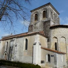
Église Saint-Pierre-ès-Liens de Montrem
2 km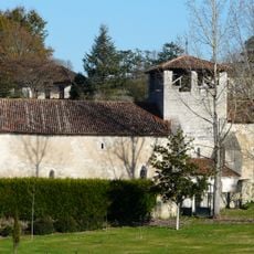
Église Saint-Firmin de Jaure
10.1 km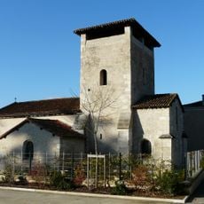
Église Saint-Saturnin (Marsac-sur-l'Isle)
8.4 km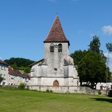
Église Saint-Eutrope de Saint-Aquilin
7.6 km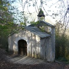
Chapelle des bois
4.8 km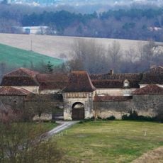
Chartreuse de Fareyroux
3.7 km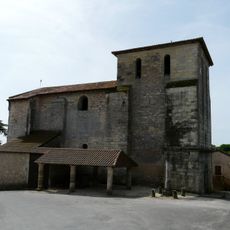
Église Saint-Michel-Archange de La Chapelle-Gonaguet
9.9 km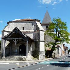
Église Saint-Pierre-et-Saint-Paul de Mensignac
8.9 km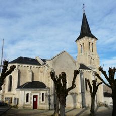
Église Saint-Cloud
4.5 km
Abri de Raymonden
10.8 kmReviews
Visited this place? Tap the stars to rate it and share your experience / photos with the community! Try now! You can cancel it anytime.
Discover hidden gems everywhere you go!
From secret cafés to breathtaking viewpoints, skip the crowded tourist spots and find places that match your style. Our app makes it easy with voice search, smart filtering, route optimization, and insider tips from travelers worldwide. Download now for the complete mobile experience.

A unique approach to discovering new places❞
— Le Figaro
All the places worth exploring❞
— France Info
A tailor-made excursion in just a few clicks❞
— 20 Minutes