Canton of la Châtre, canton of France
Location: Indre
Inception: March 22, 2015
Capital city: La Châtre
GPS coordinates: 46.58222,1.98722
Latest update: April 25, 2025 07:22
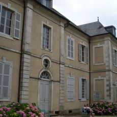
House of George Sand
4.9 km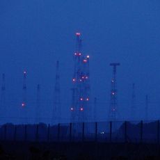
Issoudun transmitter
39.4 km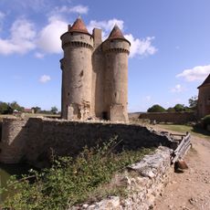
Château de Sarzay
6.5 km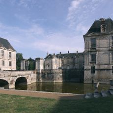
Château de Lignières
23.8 km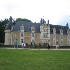
Château d'Ars
2.6 km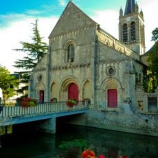
Eglise Notre-Dame
23.8 km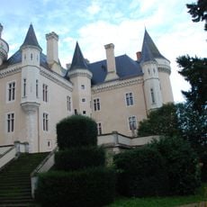
Château de Saint-Chartier
7.3 km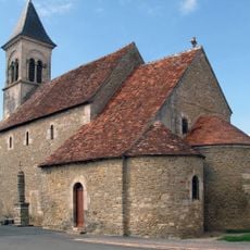
Église Saint-Martin de Vic
6.6 km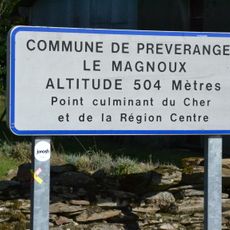
Le Magnoux
23.6 km
Abbaye Saint-Pierre de Chezal-Benoît
28.6 km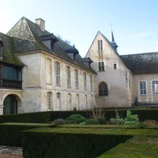
Musée de l'hospice Saint-Roch
40.4 km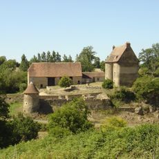
Château du Mont
14.8 km
Église Saint-Genès de Châteaumeillant
16.6 km
Oppidum de Châteaumeillant
16.5 km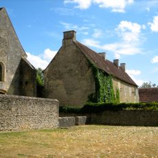
Abbaye de Varennes
9.2 km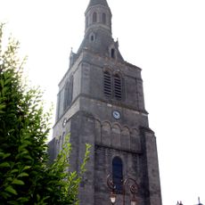
Église Saint-Germain de La Châtre
153 m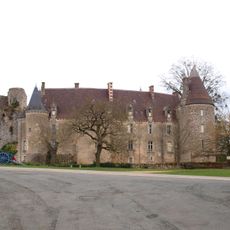
Château de Lys-Saint-Georges
14.2 km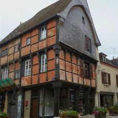
House, 4 place Laisnel-de-la-Salle, La Châtre
41 m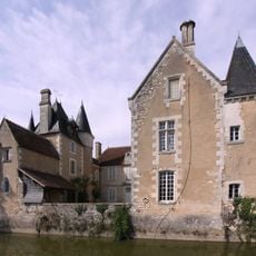
Château du Plaix
22.7 km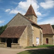
Église Sainte-Anne de Nohant
4.9 km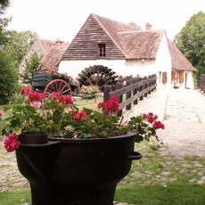
Moulin d'Angibault
7.7 km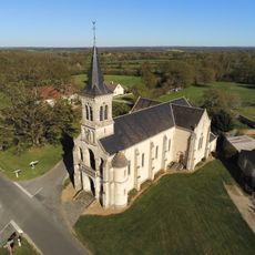
Chapelle Notre-Dame de Vaudouan de Briantes
5.2 km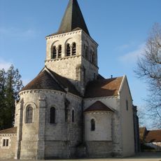
Église Notre-Dame de La Berthenoux
10.4 km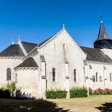
Église Saint-Pierre de Tranzault
11.8 km
Lycée George-Sand
720 m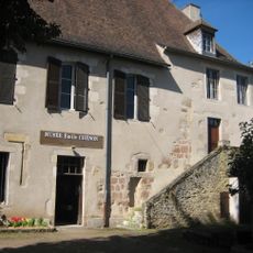
Musée Emile Chenon
16.2 km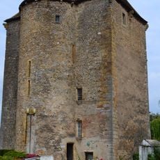
Château de La Châtre
216 m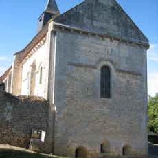
Église Saint-Denis de Condé
28.1 kmReviews
Visited this place? Tap the stars to rate it and share your experience / photos with the community! Try now! You can cancel it anytime.
Discover hidden gems everywhere you go!
From secret cafés to breathtaking viewpoints, skip the crowded tourist spots and find places that match your style. Our app makes it easy with voice search, smart filtering, route optimization, and insider tips from travelers worldwide. Download now for the complete mobile experience.

A unique approach to discovering new places❞
— Le Figaro
All the places worth exploring❞
— France Info
A tailor-made excursion in just a few clicks❞
— 20 Minutes