Enable Location

We need your location to show you interesting places around you

Discover nearby places

Find interesting locations and hidden gems around you

Precise directions

Get accurate directions and distances to places

Your location is never shared with other users. It's only used when you tap the location button.

Montagne du Conest

Log in to your account

Start exploring — it's free

Trusted by 62,413 travelers worldwide

Continue with Google
Continue with Apple
or

We will send you a code to connect

By continuing, you accept our Terms and Conditions and our Privacy Policy

Check your inbox

We've sent a pincode in your inbox. Please enter the code below.

Montagne du Conest, Mountain summit in Taillefer Massif, Isère, France.

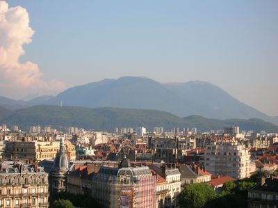
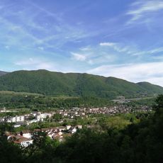
Montagne du Conest is a mountain in the French Alps located between Laffrey Lakes and Drac Valley in Isère. The summit sits at approximately 1710 meters and offers views across the surrounding Alpine landscape.

The mountain was formed over millions of years through tectonic activity and serves as a natural boundary between different geological formations in the Alpine region. This geological diversity continues to shape the mountain range structure.

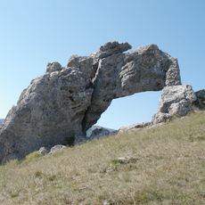
The summit meadows hold official environmental protection status recognizing their importance for preserving local plant and animal life. Visitors experience this ecological richness firsthand while walking through the grasslands.

The hiking trail from Saint-Jean-de-Vaulx extends about 7 kilometers to the summit with approximately 425 meters of elevation gain, taking about three hours to complete. The terrain is open and well-marked, so sturdy footwear and preparation for changing mountain weather are essential.

The mountain is an established paragliding site with several official launch points, making it popular for this sport. The thermal currents and winds at this elevation create favorable conditions for flying activities.

The community of curious travelers

AroundUs brings together thousands of curated places, local tips, and hidden gems, enriched daily by 60,000 contributors worldwide.

Start exploring
Location
Elevation above the sea
1,710 m
GPS coordinates
44.99186,5.72451
Latest update
December 14, 2025 20:02
« Montagne du Conest - Mountain summit in Taillefer Massif, Isère, France » is provided by Around Us (aroundus.com). Images and texts are derived from Wikimedia project under a Creative Commons license. You are allowed to copy, distribute, and modify copies of this page, under the conditions set by the license, as long as this note is clearly visible.

Discover hidden gems everywhere you go!

From secret cafés to breathtaking viewpoints, skip the crowded tourist spots and find places that match your style. Our app makes it easy with voice search, smart filtering, route optimization, and insider tips from travelers worldwide. Download now for the complete mobile experience.

Around Us App Screenshot

A unique approach to discovering new places

Le Figaro

All the places worth exploring

France Info

A tailor-made excursion in just a few clicks

20 Minutes

Around Us
Travel Guide & Maps
Download

Send to your phone

QR Code
1

Open the camera app on your mobile.

2

Point at the QR code with your camera. A notification will appear.

3

Tap the notification to open the link.