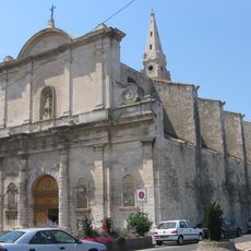
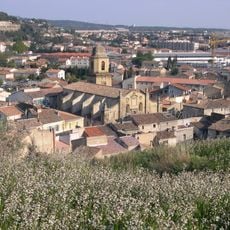
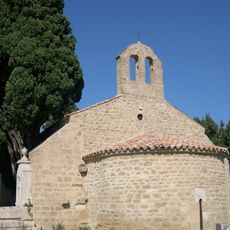
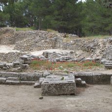
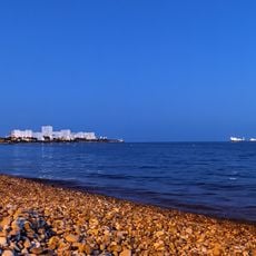
Canton of Istres, canton of France
Location: Bouches-du-Rhône
Inception: March 22, 2015
Capital city: Istres
GPS coordinates: 43.51417,4.98889
Latest update: May 10, 2025 17:48
Crau
12.6 km
Viaduc de Martigues
13.2 km
Pont de Caronte
12.8 km
Oppidum de Saint-Blaise
5.8 km
Pont Flavien
5.3 km
Réserve naturelle nationale des Coussouls de Crau
10.3 km
Château de Fos-sur-Mer
9.1 km
Viaduc de Saint-Chamas
5.8 km
Maison du chemin de Paradis
12.9 km
Plage de la Romaniquette
1 km
Oppidum du Castellan
437 m
Église Sainte-Madeleine-de-l'Île de Martigues
13.2 km
Église Notre-Dame-de-Beauvoir
82 m
Porte d'Arles
124 m
Église Saint-Genest de Martigues
13.4 kmÉglise Saint-Léger de Saint-Chamas
5.4 km
Phare de Saint Gervais
10.3 km
Chapelle de l'Annonciade de Martigues
13.4 kmLe Bayle-Vert
11.7 km
Chapelle Saint-Julien de Miramas
6.1 km
Golf Club de Miramas
9.6 km
Église Saint Sauveur de Fos-sur-Mer
9.1 km
Chapelle Notre-Dame-de-la-Mer
9.7 km
Chapelle Saint-Sulpice d'Istres
351 m
Chapelle d'Entressen
11.2 km
Chapelle Saint-Blaise
5.7 km
Chapelle Saint Michel à Saint-Mitre-les-Remparts
7.4 km
Plage de l'Ours
11.6 kmVisited this place? Tap the stars to rate it and share your experience / photos with the community! Try now! You can cancel it anytime.
Discover hidden gems everywhere you go!
From secret cafés to breathtaking viewpoints, skip the crowded tourist spots and find places that match your style. Our app makes it easy with voice search, smart filtering, route optimization, and insider tips from travelers worldwide. Download now for the complete mobile experience.
A unique approach to discovering new places❞
— Le Figaro
All the places worth exploring❞
— France Info
A tailor-made excursion in just a few clicks❞
— 20 Minutes