Suc de Touron, Volcanic summit in Borée, Ardèche, France.
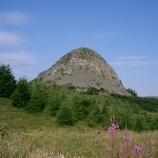
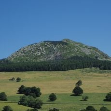
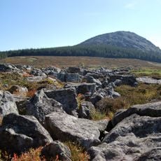
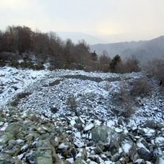
Suc de Touron is a volcanic summit in the Massif Central reaching 1,381 meters (4,531 feet) with distinctive blue phonolite rock formations visible throughout its slopes. The mountain displays the characteristic geological features of this unique rock type and serves as a defined geographic landmark in the area.
Suc de Touron formed during ancient volcanic periods that shaped the entire Massif Central region through geological activity. This volcanic history created the distinctive rock formations visible today and influenced the development of the surrounding landscape.
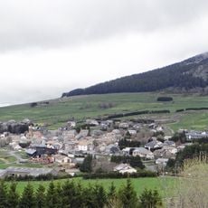
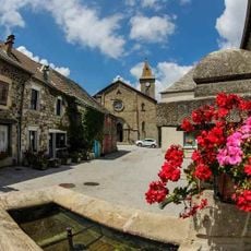
The summit serves as a natural landmark in local geography, with its distinctive blue rocks forming a visual reference point in the Ardèche region. Residents and visitors connect this volcanic form to the geological heritage that has shaped the landscape for generations.
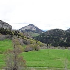
Hiking trails to the summit remain accessible throughout the year with parking facilities located near various trailheads. Sturdy footwear is recommended as the terrain includes steep sections and loose rock slopes that require careful footing.
The summit displays parallel-arranged rock blocks and numerous scree slopes that create a distinctive geological pattern. This particular arrangement of stones is characteristic of phonolite formations and makes the mountain recognizable throughout the region.
The community of curious travelers
AroundUs brings together thousands of curated places, local tips, and hidden gems, enriched daily by 60,000 contributors worldwide.