Chest opened
+${chestReward.xp} XP
Explorer
NOUVEAU ×${chestReward.collectible.quantity}
tapez pour fermer
Chest locked

Open chests in the app

Around Us is built for your phone — chests unlock when you walk, explore and capture nearby places.

Enable Location

We need your location to show you interesting places around you

Discover nearby places

Find interesting locations and hidden gems around you

Precise directions

Get accurate directions and distances to places

Your location is never shared with other users. It's only used when you tap the location button.

Nyírség

Log in to your account

Start exploring — it's free

Trusted by 72,876 travelers worldwide

Continue with Google
Continue with Apple
or

We will send you a code to connect

By continuing, you accept our Terms and Conditions and our Privacy Policy

Check your inbox

We've sent a pincode in your inbox. Please enter the code below.

Nyírség
Discussion Reviews 1 Photos
10.4k Popularity

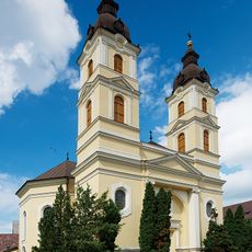
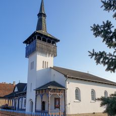
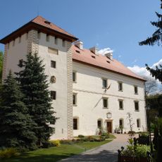
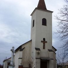
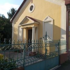
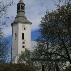
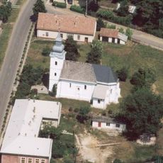
Nyírség, Sandy plain in Szabolcs-Szatmár-Bereg County, Hungary

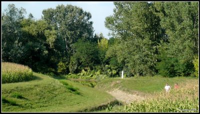
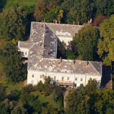
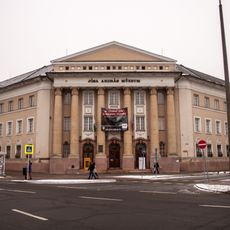
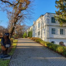
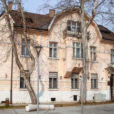
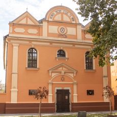
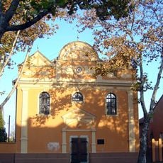
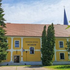
Nyírség is a sandy plain in northeastern Hungary consisting of low-lying terrain dotted with sand dunes and extensive agricultural fields. The landscape is flat and open, with scattered settlements and farmland that cover the entire region.

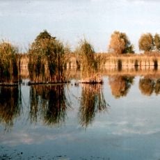
The region was once covered in swamps and untamed sandy terrain that was gradually transformed through drainage and land reclamation over many centuries. This conversion from wild landscape to farmland shaped the area into what it is today.

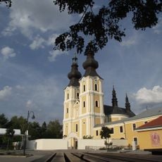
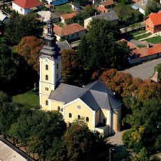
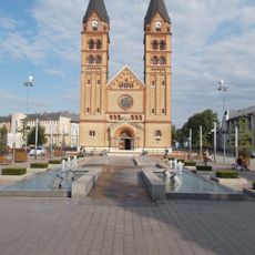
Local communities have maintained fruit farming traditions for generations, developing specialized knowledge about growing crops in sandy soil. This heritage remains visible in how the land is used and organized throughout the region.

Exploring the region works best with a car, as settlements are scattered across the flat terrain and local roads connect the farms and villages. Wear sturdy shoes and prepare for open countryside with minimal shade or shelter.

The area has significant natural gas deposits that led to industrial development alongside traditional farming, creating an unusual mix of agriculture and energy infrastructure. This coexistence of cropland and industrial sites shapes the modern landscape in unexpected ways.

The community of curious travelers

AroundUs brings together thousands of curated places, local tips, and hidden gems, enriched daily by 60,000 contributors worldwide.

Start exploring
Part of
Great Hungarian Plain
GPS coordinates
47.91000,22.00000
Latest update
December 10, 2025 15:54
Reviews
Share your experience

No review yet

Discussions
Start a discussion...

No discussion yet

« Nyírség - Sandy plain in Szabolcs-Szatmár-Bereg County, Hungary » is provided by Around Us (aroundus.com). Images and texts are derived from Wikimedia project under a Creative Commons license. You are allowed to copy, distribute, and modify copies of this page, under the conditions set by the license, as long as this note is clearly visible.

Discover hidden gems everywhere you go!

From secret cafés to breathtaking viewpoints, skip the crowded tourist spots and find places that match your style. Our app makes it easy with voice search, smart filtering, route optimization, and insider tips from travelers worldwide. Download now for the complete mobile experience.

Around Us App Screenshot

A unique approach to discovering new places

Le Figaro

All the places worth exploring

France Info

A tailor-made excursion in just a few clicks

20 Minutes

Around Us
Travel Guide & Maps
Download

Send to your phone

QR Code
1

Open the camera app on your mobile.

2

Point at the QR code with your camera. A notification will appear.

3

Tap the notification to open the link.