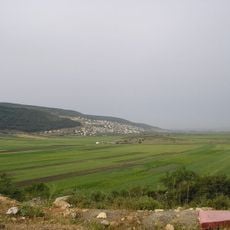
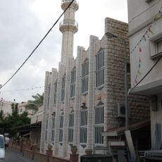
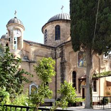
Kafr Kanna, Arab village in northern Israel
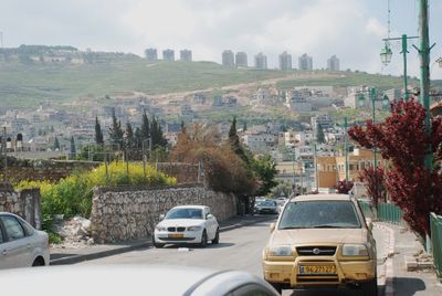
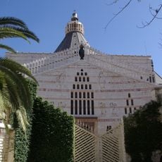
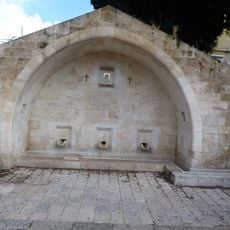
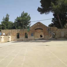
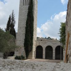
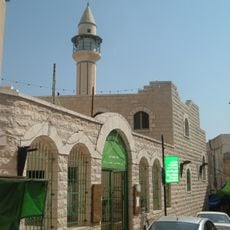
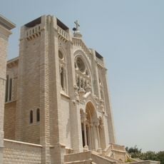
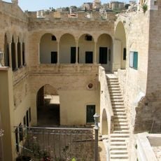
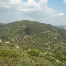
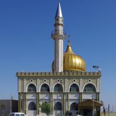
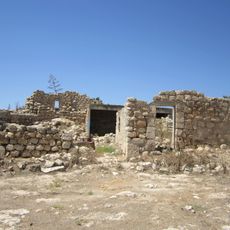
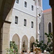
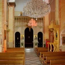
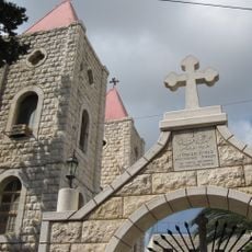
Kafr Kanna is a village in northern Israel, primarily inhabited by Arab residents. The settlement sits on hilly terrain with traditional stone houses, narrow lanes, and contains a church that holds religious significance for Christian visitors.
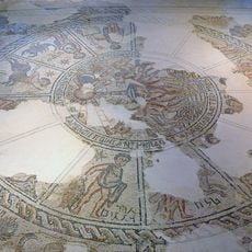
The village has roots extending back to early Christian times and is associated with biblical events. The presence of the church and its significance to Christian traditions have shaped the site's history for centuries.
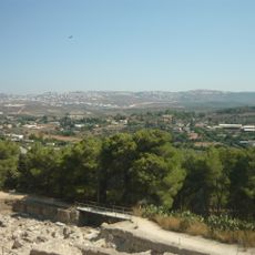
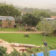
The village is reachable by road from larger towns and offers basic accommodation and dining options on site. Visitors should prepare for narrow lanes and wear comfortable shoes to navigate the hilly terrain.
The community of curious travelers
AroundUs brings together thousands of curated places, local tips, and hidden gems, enriched daily by 60,000 contributors worldwide.