Jesus Trail, Hiking trail in Galilee, Israel
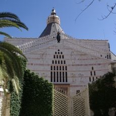
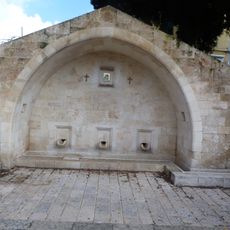
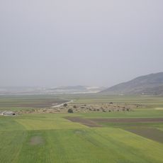
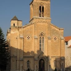
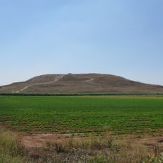
The Jesus Trail is a 65 km (40 mi) hiking and pilgrimage route in the Galilee region of Israel that traces the route Jesus may have walked, connecting many sites from his life and ministry. The main part of the trail begins in Nazareth and passes through Sepphoris, Cana (Kafr Kanna), the Horns of Hattin, Mount Arbel Cliffs, the Sea of Galilee, Capernaum, Tabgha, and the Mount of Beatitudes. An alternate return route passes by Tiberias, the Jordan River, Mount Tabor, and Mount Precipice.
The trail was founded in 2007 by Maoz Inon, an Israeli entrepreneur who ran hostels and guesthouses, and David Landis, an American hiking specialist. The route was marked in 2008 by the public Israel Trails Committee with the Society for the Protection of Nature in Israel. It was modelled on pilgrimage trails such as the Camino de Santiago in Spain and the Saint Paul Trail in Turkey.
The name comes from biblical stories of journeys through this region, and today the route links places of different faiths. Hikers pass villages where Arabic, Hebrew or both languages are spoken along the way.
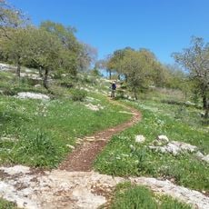
The trail divides into four stages ranging from 13 to 19 kilometers (8 to 12 miles) per day and offers overnight stays in kibbutzim or guesthouses. The route can be completed on foot in around four days and requires basic fitness for hilly sections.
Waymarks in three colors - white, orange and white - show the trail along sites mentioned in scripture. The system allows even people without navigation experience to walk independently through the landscape.
The community of curious travelers
AroundUs brings together thousands of curated places, local tips, and hidden gems, enriched daily by 92,790 contributors worldwide.