Chest opened
+${chestReward.xp} XP
Explorer
NOUVEAU ×${chestReward.collectible.quantity}
tapez pour fermer
Chest locked

Open chests in the app

Around Us is built for your phone — chests unlock when you walk, explore and capture nearby places.

Enable Location

We need your location to show you interesting places around you

Discover nearby places

Find interesting locations and hidden gems around you

Precise directions

Get accurate directions and distances to places

Your location is never shared with other users. It's only used when you tap the location button.

Guntakal

Log in to your account

Start exploring — it's free

Trusted by 72,888 travelers worldwide

Continue with Google
Continue with Apple
or

We will send you a code to connect

By continuing, you accept our Terms and Conditions and our Privacy Policy

Check your inbox

We've sent a pincode in your inbox. Please enter the code below.

Guntakal
Discussion Reviews 1 Photos
28.7k Popularity

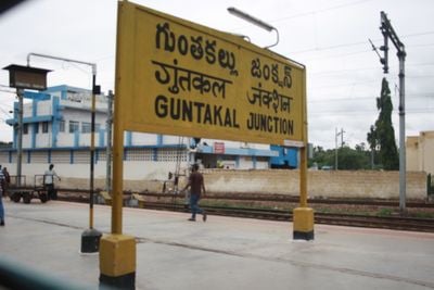
Guntakal, Transportation hub in Anantapur District, Andhra Pradesh, India

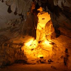
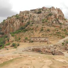
Guntakal is a transportation hub town in Anantapur District, Andhra Pradesh, situated on elevated terrain approximately 432 meters above sea level. Residential areas are mixed with limestone quarries and railway infrastructure that shapes the town's character.

The establishment as a railway junction in 1953 transformed this place into a major transportation center for South Central Railway operations. Since then, the railway has remained the economic and social foundation of the town's development.

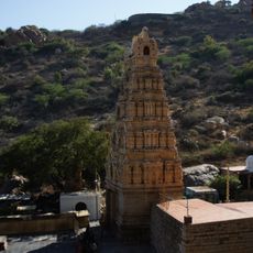
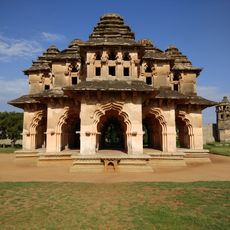
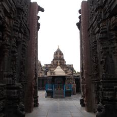
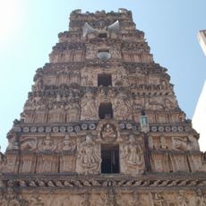
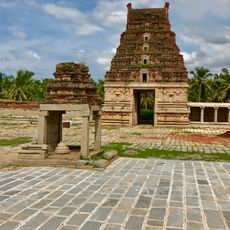
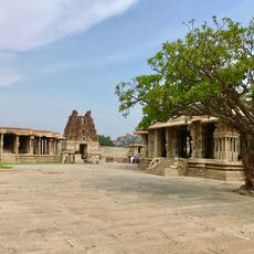
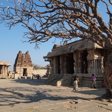
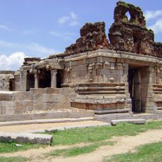
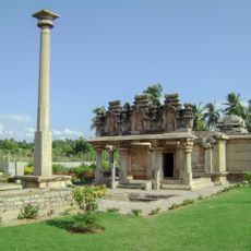
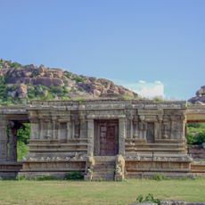
The town centers around several temples that reflect the religious practices of Telugu-speaking residents. You can observe traditional architecture and daily prayer rituals that shape the rhythm of local life.

The railway station connects passengers to Mumbai, Hyderabad, Bangalore, and Chennai, while National Highway 67 provides road access to surrounding regions. Visitors can reach the town easily by train or navigate using local buses and taxis.

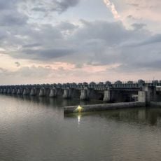
The name derives from local dialects referring to water-stone, reflecting the geological features of this elevated railway town. This naming origin connects the region's natural resources with its modern role as a transportation hub.

The community of curious travelers

AroundUs brings together thousands of curated places, local tips, and hidden gems, enriched daily by 60,000 contributors worldwide.

Start exploring
Location
Elevation above the sea
432 m
GPS coordinates
15.16381,77.37614
Latest update
December 20, 2025 12:14
Reviews
Share your experience

No review yet

Discussions
Start a discussion...

No discussion yet

« Guntakal - Transportation hub in Anantapur District, Andhra Pradesh, India » is provided by Around Us (aroundus.com). Images and texts are derived from Wikimedia project under a Creative Commons license. You are allowed to copy, distribute, and modify copies of this page, under the conditions set by the license, as long as this note is clearly visible.

Discover hidden gems everywhere you go!

From secret cafés to breathtaking viewpoints, skip the crowded tourist spots and find places that match your style. Our app makes it easy with voice search, smart filtering, route optimization, and insider tips from travelers worldwide. Download now for the complete mobile experience.

Around Us App Screenshot

A unique approach to discovering new places

Le Figaro

All the places worth exploring

France Info

A tailor-made excursion in just a few clicks

20 Minutes

Around Us
Travel Guide & Maps
Download

Send to your phone

QR Code
1

Open the camera app on your mobile.

2

Point at the QR code with your camera. A notification will appear.

3

Tap the notification to open the link.