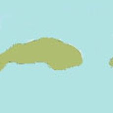
Ritchie's Archipelago, Island cluster in Bay of Bengal, India
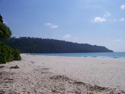
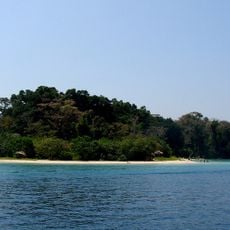
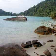
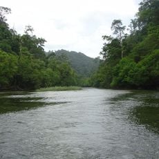
Ritchie's Archipelago is an island cluster in the Bay of Bengal made up of four main islands and several smaller ones separated by narrow channels. The islands feature varied coastlines with coves, sandy shores, and rocky outcrops that shape the surrounding seascape.
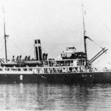
These islands were first systematically mapped and documented in the 18th century by John Ritchie, a British marine surveyor. This mapping established the foundation for European knowledge of the island group and later influenced the region's development.
The Great Andamanese people have deep roots on these islands, and their legacy remains visible in local traditions and daily island life. Visitors can sense this connection in how communities interact with the sea and maintain their ties to the land.
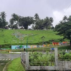
Visitors reach the islands by ferry from Port Blair, with journeys ranging from three to five hours depending on the destination. It helps to check ferry schedules in advance and travel early in the day to ensure good availability and sea conditions.
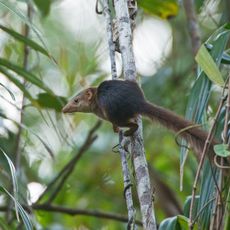
The archipelago is home to butterfly species found nowhere else in the world, making it a place of particular biological interest. These distinctive insects are part of a diverse ecosystem that visitors may encounter while exploring.
The community of curious travelers
AroundUs brings together thousands of curated places, local tips, and hidden gems, enriched daily by 60,000 contributors worldwide.