Rayagada district, Administrative district in Southern division, India
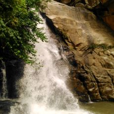
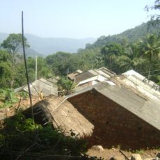
Rayagada district is an administrative region in southern India characterized by hilly terrain, dense forests, and numerous natural water features. The landscape includes waterfalls, varied topography, and extensive vegetation across its area.
The district was formed in 1992 after being separated from Koraput district as a new administrative unit. This creation represented an important reorganization of territorial divisions in the region.
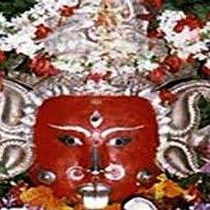
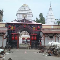
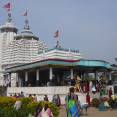
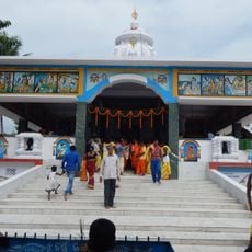
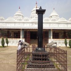
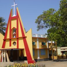
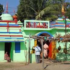
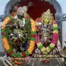
The local communities include Kondhas, Koyas, and Gadabas who practice traditional customs visible in their festivals, music, and daily way of life. These groups shape the character and rhythm of towns and villages throughout the district.
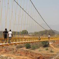
The district can be reached by rail and is served by regular bus connections linking the various administrative blocks. Visitors should expect varying road conditions and transport options depending on the season and local area.
The region contains substantial bauxite reserves that drive industrial activity, yet traditional farming remains central to many communities' livelihoods. This contrast between modern extraction and age-old agricultural practices makes the area noteworthy.
Location: Southern division
Inception: October 2, 1992
Capital city: Rayagada
Shares border with: Kalahandi district, Srikakulam district
Website: http://rayagada.nic.in
GPS coordinates: 19.16600,83.41600
Latest update: December 20, 2025 14:55
Indravati Dam
63 km
Majhighariani Temple
1.1 kmKarlapat
68.8 km
Manikeshwari Temple
86.3 km
Bhimashankar Jyotirlinga , Bhimpur
52.8 km
Phurlijharan
75.6 kmAsurgarh
103.7 kmMaa Markama Temple
38.8 km
Hanging Bridge at Chekaguda, Rayagada
1.8 km
Jagannath Temple, Gunupur
43.6 km
Nilakantheswar Temple
43.1 km
Jagannath Temple, Rayagada
1.1 km
Laxminarayan temple, Therubali
18.1 km
St. Paul's Church, Gunupur
42.7 km
Gudanggorjang
64.2 kmPhurlijharan Falls
75.6 km
Ma Mangala Ma Temple, Rayagada
613 m
Gopinath Temple, Lihuri
53.7 kmHarabhangi Reservoir
84.3 kmBadanallah Reservoir
52.2 kmGadgada Falls
36.1 kmSAURA TRIBE VILLAGE
81.6 kmPUNJAPAI DESSIA VILLAGE
20 kmSHAMBARA tribe VILLAGE Minapai
30.1 kmLonda Pahad
984 mRabandhar Waterfall
78.9 kmPhurli Jharan
75.4 kmRabandhar Waterfall Main
78.2 kmVisited this place? Tap the stars to rate it and share your experience / photos with the community! Try now! You can cancel it anytime.
Discover hidden gems everywhere you go!
From secret cafés to breathtaking viewpoints, skip the crowded tourist spots and find places that match your style. Our app makes it easy with voice search, smart filtering, route optimization, and insider tips from travelers worldwide. Download now for the complete mobile experience.
A unique approach to discovering new places❞
— Le Figaro
All the places worth exploring❞
— France Info
A tailor-made excursion in just a few clicks❞
— 20 Minutes