Enable Location

We need your location to show you interesting places around you

Discover nearby places

Find interesting locations and hidden gems around you

Precise directions

Get accurate directions and distances to places

Your location is never shared with other users. It's only used when you tap the location button.

Log in to your account

Start exploring — it's free

Trusted by 61,608 travelers worldwide

Continue with Google
Continue with Apple
or

We will send you a code to connect

By continuing, you accept our Terms and Conditions and our Privacy Policy

Check your inbox

We've sent a pincode in your inbox. Please enter the code below.

Burhanpur district

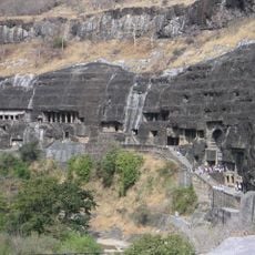
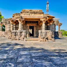
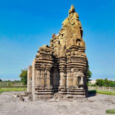
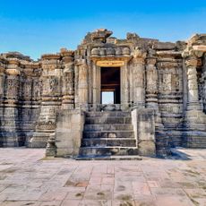
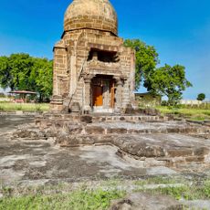
Burhanpur district, Administrative district in Madhya Pradesh, India.

Description

Burhanpur district is an administrative area in Madhya Pradesh that spans regions of the Satpura Range, with the Tapti River flowing through its terrain. These geographic features form natural boundaries and shape the character of the land.

History

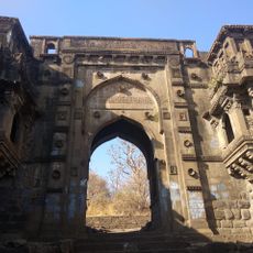
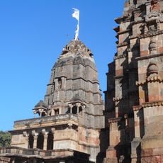
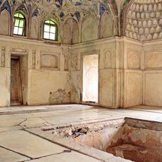
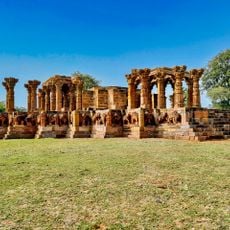
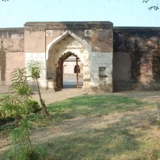
During Mughal times, Burhanpur became an important military base and served temporarily as the capital of Khandesh province. This strategic role left lasting marks on the district's development and structure.

Culture

The people here speak Hindi, Marathi, and Urdu, and local festivals reflect traditions shared across different communities throughout the year. This language diversity shapes daily life and creates a colorful, multicultural environment.

Practical

The district connects to major cities via National Highway 53, with regular bus services connecting different parts of the area. A railway station in Burhanpur city makes train travel convenient for visitors arriving from other regions.

Did you know?

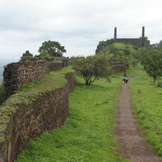
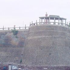
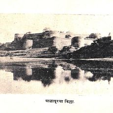
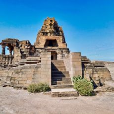
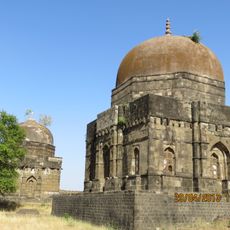
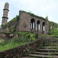
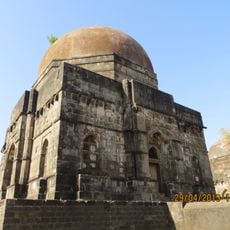
The Asirgarh fortress within the district controls a mountain pass through the Satpuras, linking northern and southern India. This pass through the mountains made the fortress strategically important for many centuries.

Location
Capital city
Burhanpur
Shares border with
Jalgaon district, Buldhana district, Amravati district
GPS coordinates
21.31000,76.23000
Latest update
December 8, 2025 13:42

AroundUs brings together thousands of curated places, local tips, and hidden gems, enriched daily by 60,000 contributors worldwide. Discover all places nearby (Indore division).

« Burhanpur district - Administrative district in Madhya Pradesh, India » is provided by Around Us (aroundus.com). Images and texts are derived from Wikimedia project under a Creative Commons license. You are allowed to copy, distribute, and modify copies of this page, under the conditions set by the license, as long as this note is clearly visible.

Discover hidden gems everywhere you go!

From secret cafés to breathtaking viewpoints, skip the crowded tourist spots and find places that match your style. Our app makes it easy with voice search, smart filtering, route optimization, and insider tips from travelers worldwide. Download now for the complete mobile experience.

Around Us App Screenshot

A unique approach to discovering new places

Le Figaro

All the places worth exploring

France Info

A tailor-made excursion in just a few clicks

20 Minutes

Around Us
Travel Guide & Maps
Download

Send to your phone

QR Code
1

Open the camera app on your mobile.

2

Point at the QR code with your camera. A notification will appear.

3

Tap the notification to open the link.