Lalitpur district, Administrative district in Madhya Pradesh, India
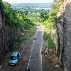
Lalitpur is an administrative district in central India characterized by parallel ridges, valleys, and granite rock formations. The landscape is shaped by these natural features, which form the foundation for human settlement and economic activity.
The district originated from the Chanderi state established in the 17th century and went through several administrative reorganizations. These transformations eventually led to the modern administrative structure that exists today.
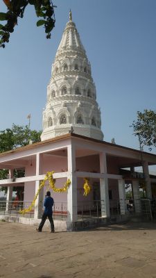
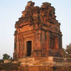
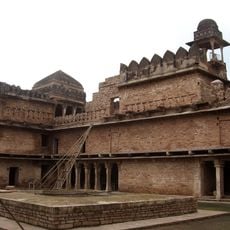
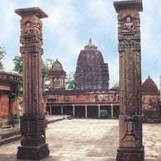
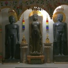
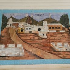
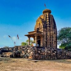
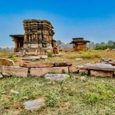
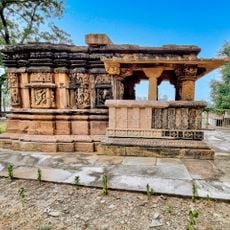
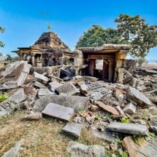
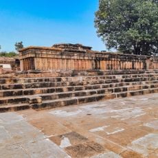
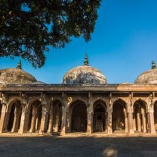
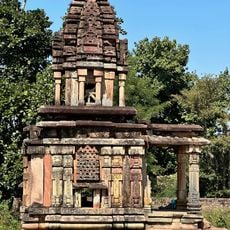
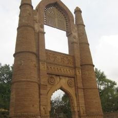
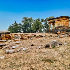
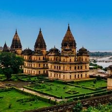
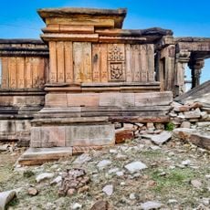
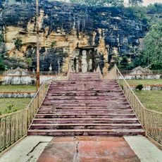
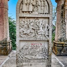
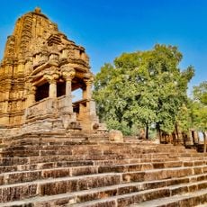
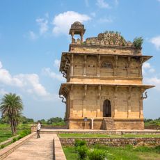
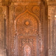
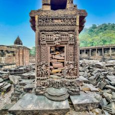
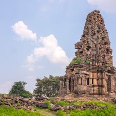
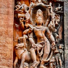
The district is home to several Hindu and Jain temples, including Raghunathji Temple and Ata Mandir, where visitors can observe different religious practices and architectural styles. These sanctuaries shape daily life and serve as gathering spaces for local communities.
Agriculture forms the economic backbone of the district, with farmers cultivating wheat, rice, and pulses across fertile zones. The best time to visit is after the rainy season, when the landscape is greenest and rural communities are most active.
The area contains substantial mineral deposits, particularly uranium resources, which hold great importance for India's resource economy. These geological assets shape the district's economic potential beyond agriculture.
Location: Uttar Pradesh
Address: Lalitpur, Uttar Pradesh 284403, India
GPS coordinates: 24.70009,78.58126
Latest update: December 7, 2025 20:21
Dashavatara Temple, Deogarh
39.6 km
Matatila Dam
49 km
Chanderi Fort
45.7 km
Jain temples of Deogarh
39.5 km
Aharji
56.8 kmGarrauli State
63.8 km
Navgarh
39.2 km
Aharji Jain Teerth
41.6 km
Sun Temple, Madkhera
28 km
Andhakuan group of temples, Thubon
59.4 km
Hori ki marhia group of temples, Thubon
59 km
Sita marhi group of temples, Thubon
59.9 km
Kuti group of temples and Vaishnava monastery, Thoban
59.7 km
Jama Masjid
45.1 km
Kuraiya Bir Temple, Kuchdon
37.8 km
Badal Mahal Gateway
45 km
Kati Ghati
45.4 km
Gargaj group of Jain and Hindu temples, Thubon
59.7 km
Orchha Chhatris, Bundelkhand
71.9 km
Mahadev Ghat group of temples, Thubon
60 km
Khandargiri Jain Cave temples, Chanderi
44.8 km
Johar Monument, Chanderi
44.6 km
Toteshvara temple and Murayata group, Kadwaya
72.5 km
Shahzadi ka Roza
45.3 km
Nizamuddin Tomb, Chanderi
45 km
Budhi Chanderi ruins
52 km
Larger Surang
36.1 km
Rakhetra Hindu and Jain Caves
56 kmVisited this place? Tap the stars to rate it and share your experience / photos with the community! Try now! You can cancel it anytime.
Discover hidden gems everywhere you go!
From secret cafés to breathtaking viewpoints, skip the crowded tourist spots and find places that match your style. Our app makes it easy with voice search, smart filtering, route optimization, and insider tips from travelers worldwide. Download now for the complete mobile experience.
A unique approach to discovering new places❞
— Le Figaro
All the places worth exploring❞
— France Info
A tailor-made excursion in just a few clicks❞
— 20 Minutes