Kumarganj community development block, community development block in West Bengal, India
Location: Balurghat subdivision
Shares border with: Gangarampur community development block, Tapan community development block, Balurghat community development block
GPS coordinates: 25.43379,88.72671
Latest update: March 3, 2025 02:46
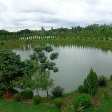
Shopnopuri Artificial Amusement Park
34.9 km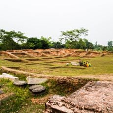
Jagaddala Mahavihara
34.6 km
Gor-E-Shahid Eidgah Maidan
23 km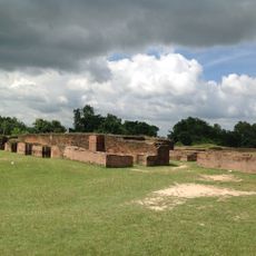
Bangarh
19.9 km
Altadighi National Park
30.9 km
Lost Mosque
27.1 km
Dinajpur Rajbari
24.7 km
Dibar Dighi
36.3 km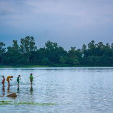
Ramsagar National Park
35.3 km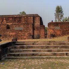
Dargah of Shah Ata
20 km
Government Girls' High School, Dinajpur
23.9 km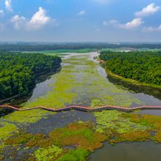
Nawabganj National Park
32.9 km
Agrapuri Vihar
28.6 km
Dinajpur Museum
23.5 km
Pirpal Dargah
20.5 km
Mandirbasini temple
30.4 km
Biswanathpur Shiva Temple
4.4 km
Poragachhi temple
26.5 km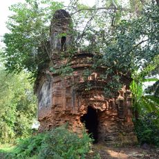
Mahurkismat Pancharatna temple
18.4 km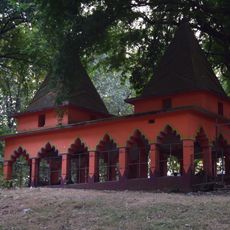
Bhaior Mata temple
33.2 km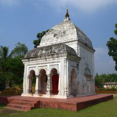
Panchamukhi Shiva Temple
36.3 km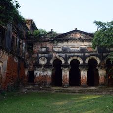
Thakurdalan of Zamindar house of Bandopadhyay family
23.8 km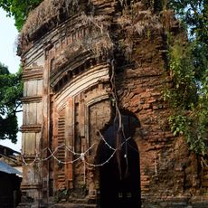
Kardaha Shiva temple
29 km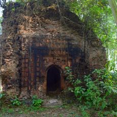
Singhabahini temple
16.6 km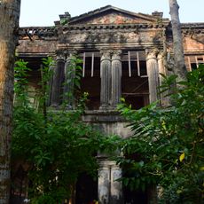
Zamindar house of Bandopadhyay family
23.8 km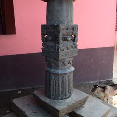
Shibbari solitary pillar
19.2 km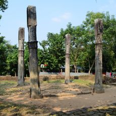
Site of Usha and Aniruddha's Marriage
19.3 km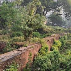
Mahipaldighi Neelkuthi
26.4 kmReviews
Visited this place? Tap the stars to rate it and share your experience / photos with the community! Try now! You can cancel it anytime.
Discover hidden gems everywhere you go!
From secret cafés to breathtaking viewpoints, skip the crowded tourist spots and find places that match your style. Our app makes it easy with voice search, smart filtering, route optimization, and insider tips from travelers worldwide. Download now for the complete mobile experience.

A unique approach to discovering new places❞
— Le Figaro
All the places worth exploring❞
— France Info
A tailor-made excursion in just a few clicks❞
— 20 Minutes