Mathurapur II community development block, Community development block in Diamond Harbour subdivision, India.
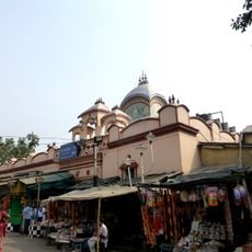
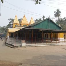
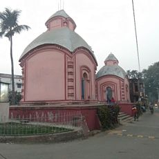
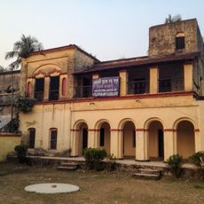
Mathurapur II is a community development block in South 24 Parganas district, West Bengal, consisting of villages and rural settlements spread across the region. The area has schools, health facilities, and transportation networks that serve the local population and connect different settlements.
The block developed as part of India's post-independence administrative system and was organized as a unit for local governance and rural development. The structure was created to bring administration closer to rural communities and enable local participation in development planning.
The population of 220,839 residents represents diverse religious groups, with 82.08 percent following Hinduism and 15.37 percent practicing Islam according to census data.
The best time to visit is during drier months when road conditions are better and movement through the area is easier. Visitors should plan to use local transportation or arrange transport in advance, as public connections may be limited.
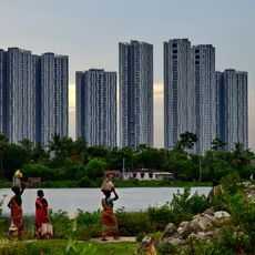
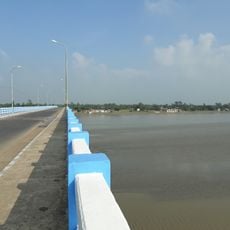
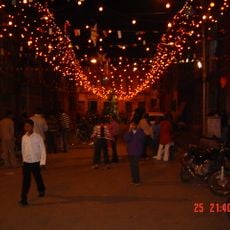
The area is heavily influenced by tidal forces from a nearby river, shaping the daily rhythms of village life and farming activities. This proximity to water has also shaped traditional transportation methods and fishing practices that remain relevant in the area today.
The community of curious travelers
AroundUs brings together thousands of curated places, local tips, and hidden gems, enriched daily by 60,000 contributors worldwide.