Mathurapur I community development block, Administrative block in Diamond Harbour subdivision, India
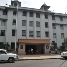
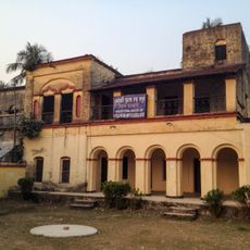
Mathurapur I is a community development block in Diamond Harbour subdivision comprising 91 villages connected by road networks and spread across a flat, rural landscape. The area includes agricultural lands, residential settlements, schools, health centers, and electrical infrastructure serving the local population.
The block was created through administrative reorganization in West Bengal to improve local governance and establish structured service delivery across rural regions. This reorganization strengthened coordination between villages and central authorities.
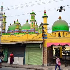
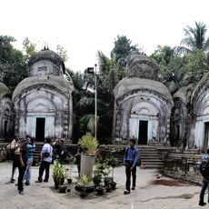
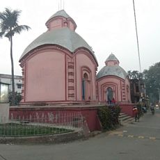
The population of 195,104 residents maintains Bengali traditions with a demographic composition of 59 percent Hindu and 40 percent Muslim communities.
The block is well connected through road networks to neighboring regions, making travel between villages and to services convenient. Visitors should prepare for the rural nature of the area and plan visits around agricultural seasons to observe daily activities.
The area relies heavily on farming, with roughly 37 percent of the workforce employed as agricultural laborers. This dependence is complicated by challenging conditions such as saline soil, which presents ongoing difficulties for farmers.
Location: Diamond Harbour subdivision
Elevation above the sea: 9 m
Website: http://bdomathone.in/bdom
GPS coordinates: 22.12030,88.39430
Latest update: December 10, 2025 16:27
Kalighat Kali Temple
44.8 km
Urbana
43.6 km
Chintamoni Kar Bird Sanctuary
34.4 km
Rabindra Sarobar Stadium
43.8 km
Priya Cinema
44.5 km
Ramakrishna Mission Institute of Culture
44.2 km
Benubana Chhaya
39.6 km
Jatar Deul
17.1 km
Sabarna Sangrahashala
41 km
State Archaeological Museum
42.9 km
BAPS Shri Swaminarayan Mandir Kolkata
34.6 km
Matla Setu
35.8 km
Pathrakaliamman Temple
44.8 km
Gurusaday Museum
38.5 km
Hatania Doania Setu
43.3 km
Jagajjivanpur copper-plate inscription of Mahendrapala
42.9 km
Dhanwantari Temple
6.3 km
Durga Exhibition Museum
43.5 km
Aayakar Bhawan Poorva
44 km
The Behala Town Library
43.2 km
Gopaljiu temple
42.7 km
Zohra Begum Mosque
43.1 km
Kamarghat Dwadash Shiva temple
42.5 km
Kuthi of Port Canning Land, Investment, Reclamation and Dock Company
35.9 km
Jora Temple
28.2 km
Ancestral House of Bose family
32.6 km
Samali Great Trigonometrical Survey tower
37.1 km
Prince Mohammed Rahimuddin Imambara
43 kmVisited this place? Tap the stars to rate it and share your experience / photos with the community! Try now! You can cancel it anytime.
Discover hidden gems everywhere you go!
From secret cafés to breathtaking viewpoints, skip the crowded tourist spots and find places that match your style. Our app makes it easy with voice search, smart filtering, route optimization, and insider tips from travelers worldwide. Download now for the complete mobile experience.
A unique approach to discovering new places❞
— Le Figaro
All the places worth exploring❞
— France Info
A tailor-made excursion in just a few clicks❞
— 20 Minutes