Manikchak community development block, Community development block in Malda Sadar subdivision, India
Manikchak is an administrative block in Maldah district that covers a large rural area with multiple villages. It functions as the local governance center serving the population spread across 72 inhabited settlements.
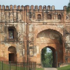
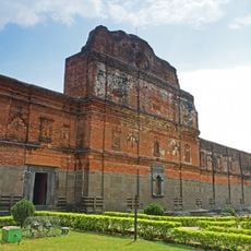
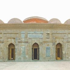
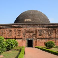
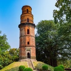
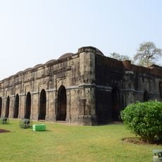
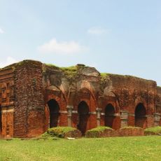
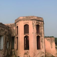
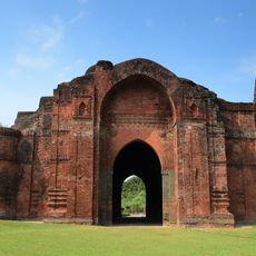
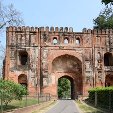
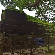
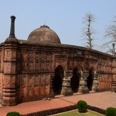
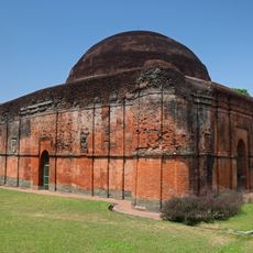
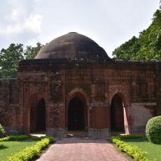
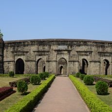
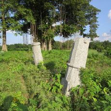
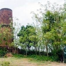
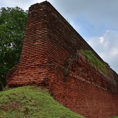
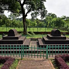
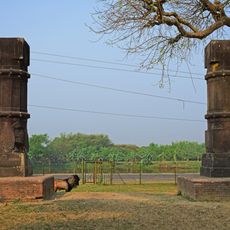
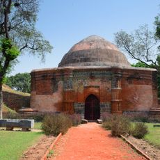
The region held historical importance as the location of Gauda, a major center during the Gupta period. Later dynasties including the Sena reshaped this territory, leaving marks on its development.
The community here reflects a mix of different religious traditions that shape daily life and local practices in visible ways. Visitors notice how different groups share the same spaces and participate in the rhythms of village life together.
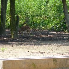
The area features flat terrain that makes it easy to move between villages and explore different settlements. Health facilities including primary centers and a rural hospital are distributed throughout the block to serve the population.
The block sits in the Diara sub-region, known for its exceptionally fertile soil that has long supported mango cultivation as a key agricultural focus. This farming tradition forms a core part of how local communities organize their work and seasons.
The community of curious travelers
AroundUs brings together thousands of curated places, local tips, and hidden gems, enriched daily by 60,000 contributors worldwide.