Grödig, municipality in Salzburg-Umgebung District, Salzburg, Austria
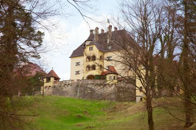
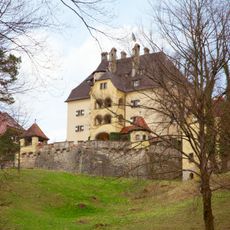
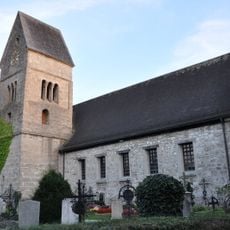
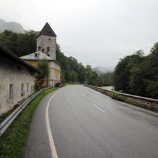
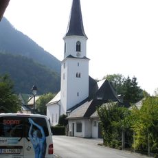
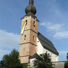
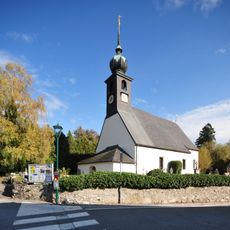
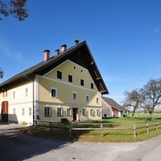
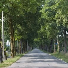
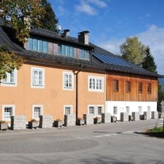
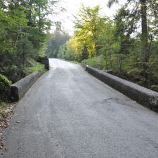
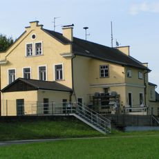
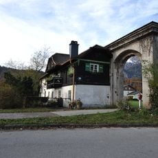
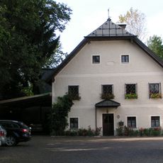
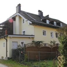
Grödig is a small Austrian market municipality south of Salzburg in the Salzburg region. The town is surrounded by green hills and forests, features quiet streets with traditional stone buildings, and has a well-maintained town center with a church and central market square.
Grödig has its roots in medieval times as an agricultural settlement connected to Salzburg via trade routes and remained a farming community for centuries. With proximity to modern Salzburg, the town gradually transformed into a residential area for commuters with growing tourist significance.
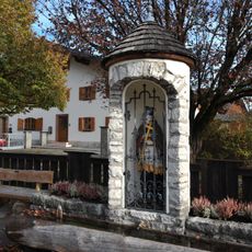
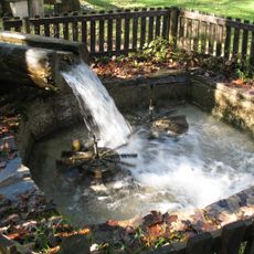
The name Grödig comes from historic words referring to farmland or a forest clearing, reflecting the area's past as a settlement space. Farming traditions remain alive today through local markets and festivals where fresh produce is sold and traditional Austrian customs are celebrated.
The town is easily reached by car or train from Salzburg and lies about 10 miles (15 kilometers) south of the city. Once there, the streets are easily walkable on foot and public transportation connects you to the surrounding mountains and lakes.
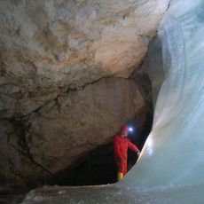
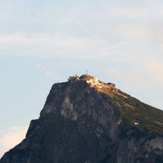
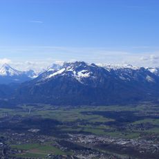
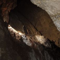
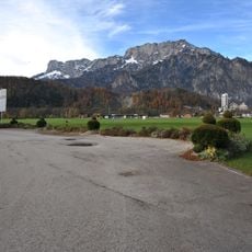
The nearby Untersberg mountain is a popular destination where visitors take cable cars up or use hiking trails to explore caves and enjoy sweeping views of the Alps. This natural attraction makes Grödig an ideal base for mountain excursions and nature exploration.
The community of curious travelers
AroundUs brings together thousands of curated places, local tips, and hidden gems, enriched daily by 60,000 contributors worldwide.