Jablanica, town in Bosnia and Herzegovina
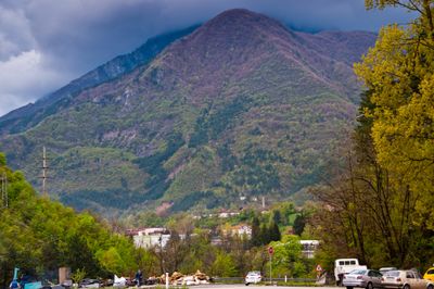
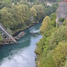
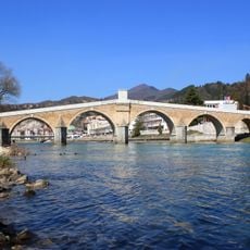
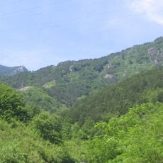
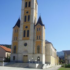
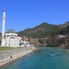
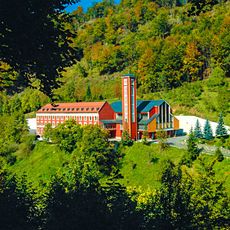
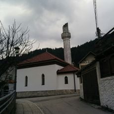
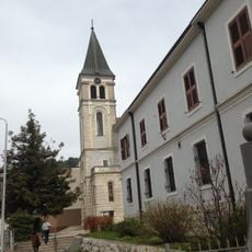
Jablanica is a small town in Bosnia and Herzegovina situated along the Neretva River and surrounded by green hills. It features simple buildings, narrow streets, and the river is visible from many spots where people gather to relax and fish.
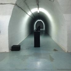
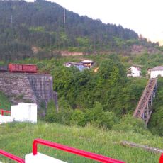
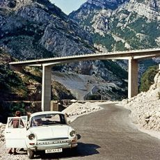
The town was a site of significant events during World War II when a railway bridge was destroyed in 1943. This period is preserved in a small museum and park that tell the story of the community's resilience.
The name Jablanica comes from the word for poplar trees that line the riverbank. Locals maintain traditional music, dance, and food that come alive during community gatherings, showing how history and nature shape daily life here.
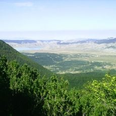
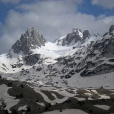
The town is easy to explore on foot and has basic shops, simple accommodations, and small restaurants serving local food. It connects well to hiking trails and nearby mountains and lakes that offer relaxation and exploration.
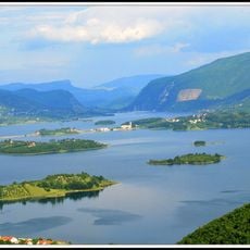
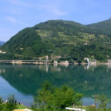
The lake beside the town was created by people and serves not only for electricity generation but also as the setting for annual rowing races in nearby settlements. This body of water transformed the landscape and is now used in many ways.
The community of curious travelers
AroundUs brings together thousands of curated places, local tips, and hidden gems, enriched daily by 60,000 contributors worldwide.