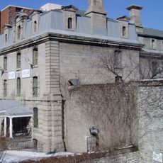
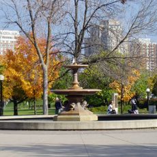
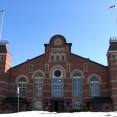
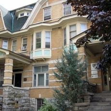
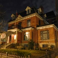
National Capital Region, Metropolitan area at Ontario-Quebec border, Canada.
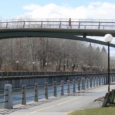
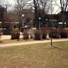
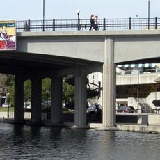
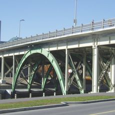
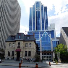
The National Capital Region is a metropolitan area at the Ontario-Quebec border that brings together Ottawa, Gatineau, and several smaller municipalities across more than five thousand square kilometers. The Ottawa River forms the natural dividing line between the two provinces, shaping the landscape with riverside pathways, bridges, and green spaces along its course.
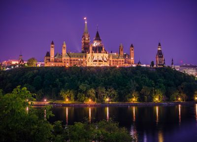
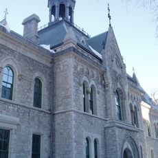
Queen Victoria chose Ottawa as Canada's capital in 1857 because of its position between Toronto and Montreal. The region grew from that moment into an administrative center that connects multiple communities across the river.
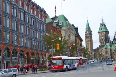
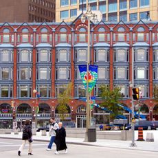
The region carries a bilingual character visible in public announcements, street signs, and daily conversations. Walking through the streets, you hear people switching between English and French with ease, especially in shops and cafés near the provincial border.
Visitors can explore the area using the O-Train light rail system that links different neighborhoods, or cross the river using bridges. Cycling paths along the waterfront allow for relaxed rides between provinces and offer access to parks and viewpoints.
This metropolitan area is the only major Canadian city that stretches across two provinces, with the border running through inhabited neighborhoods. Walking over a bridge takes you not only to another province but also shifts the dominant language and legal jurisdiction within minutes.
The community of curious travelers
AroundUs brings together thousands of curated places, local tips, and hidden gems, enriched daily by 60,000 contributors worldwide.