Enable Location

We need your location to show you interesting places around you

Discover nearby places

Find interesting locations and hidden gems around you

Precise directions

Get accurate directions and distances to places

Your location is never shared with other users. It's only used when you tap the location button.

Centre-du-Québec

Log in to your account

Start exploring — it's free

Trusted by 61,893 travelers worldwide

Continue with Google
Continue with Apple
or

We will send you a code to connect

By continuing, you accept our Terms and Conditions and our Privacy Policy

Check your inbox

We've sent a pincode in your inbox. Please enter the code below.

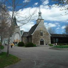
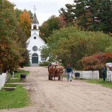
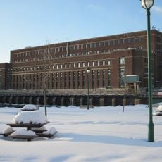
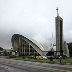
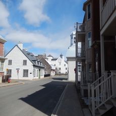
Centre-du-Québec, Administrative region in southern Quebec, Canada.

Centre-du-Québec is an administrative region in southern Quebec that spans a large territory. It encompasses five municipalities: Bécancour, Nicolet-Yamaska, L'Érable, Arthabaska, and Drummond.

The region was established as an independent administrative division on July 30, 1997, when it separated from the former Mauricie-Bois-Francs area. This reorganization reshaped how the territory was governed and administered.

The area is home to members of the Wabanaki Nation, with their communities of Odanak and Wôlinak maintaining their presence here. Visitors can see how these groups continue their traditions and daily life in the region.

Three major highways—Autoroute 20, 30, and 55—connect the region to Montreal and Quebec City, each about 90 minutes away. These routes make it easy to travel through and access the area from neighboring cities.

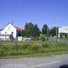
The region serves as Quebec's agricultural heart, producing maple syrup, dairy goods, grains, and fruit at significant volumes. These farm products shape the landscape and local economy throughout the area.

The community of curious travelers

AroundUs brings together thousands of curated places, local tips, and hidden gems, enriched daily by 60,000 contributors worldwide.

Start exploring
Location
Inception
July 30, 1997
Capital city
Drummondville
Shares border with
Mauricie, Capitale-Nationale, Chaudière-Appalaches, Estrie, Montérégie, Lanaudière
GPS coordinates
46.28333,-72.06667
Latest update
December 20, 2025 12:50
« Centre-du-Québec - Administrative region in southern Quebec, Canada » is provided by Around Us (aroundus.com). Images and texts are derived from Wikimedia project under a Creative Commons license. You are allowed to copy, distribute, and modify copies of this page, under the conditions set by the license, as long as this note is clearly visible.

Discover hidden gems everywhere you go!

From secret cafés to breathtaking viewpoints, skip the crowded tourist spots and find places that match your style. Our app makes it easy with voice search, smart filtering, route optimization, and insider tips from travelers worldwide. Download now for the complete mobile experience.

Around Us App Screenshot

A unique approach to discovering new places

Le Figaro

All the places worth exploring

France Info

A tailor-made excursion in just a few clicks

20 Minutes

Around Us
Travel Guide & Maps
Download

Send to your phone

QR Code
1

Open the camera app on your mobile.

2

Point at the QR code with your camera. A notification will appear.

3

Tap the notification to open the link.