Estrie, Administrative region in southern Quebec, Canada
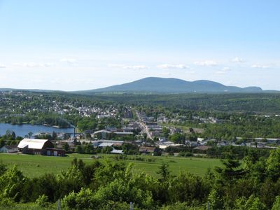
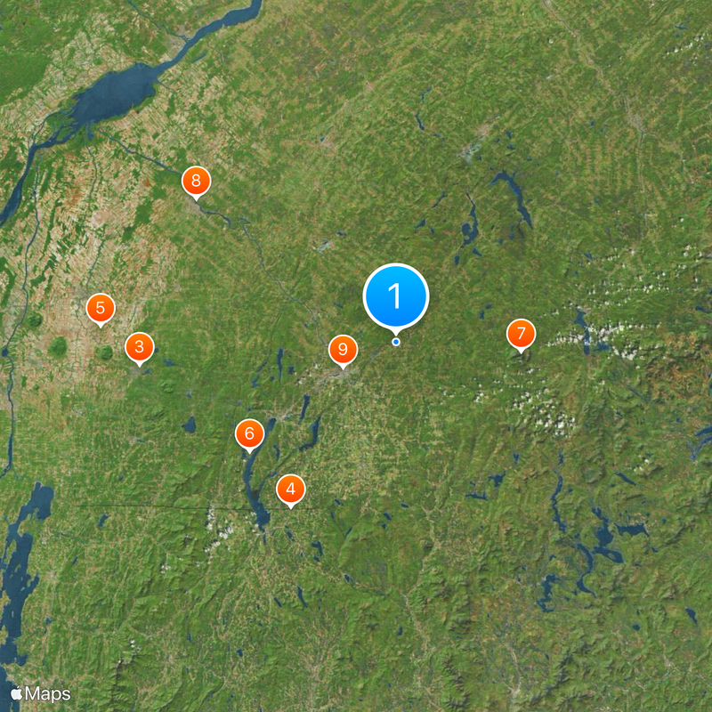
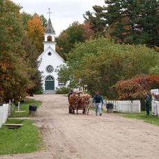
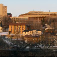
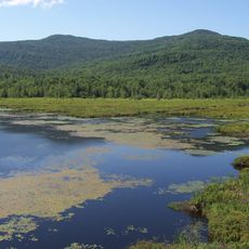
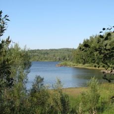
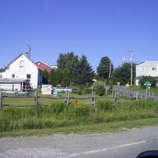
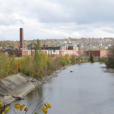
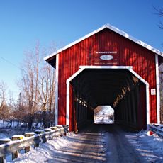
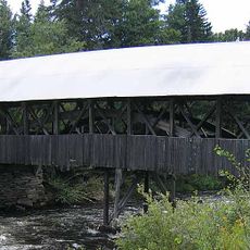
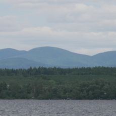
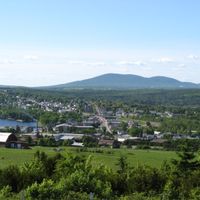
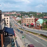
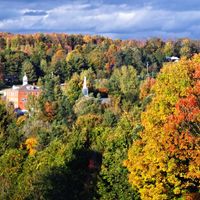
Estrie is an administrative region in southern Quebec featuring mountains, lakes, and forests distributed across nine municipalities. Sherbrooke serves as the main city, anchoring a landscape that combines urban centers with rural areas and natural terrain.
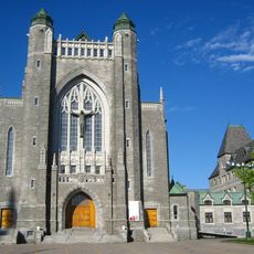
The region began as an English-speaking settlement but gradually transformed into a predominantly French-speaking area over time. This shift in the population's language shaped how the communities developed and their modern character.
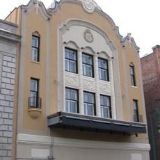
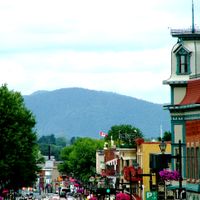
French and English communities coexist in the towns and municipalities, each contributing to the local identity through their institutions and traditions. You can see this blend of cultures reflected in the schools, shops, and community events across the region.
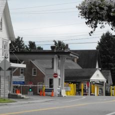
The region connects to major cities through several highways, making it easy to travel between municipalities and urban areas. Public facilities and services are distributed across towns, so plan to visit different areas to get a full sense of the region.
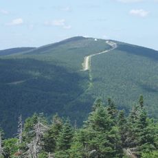
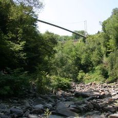
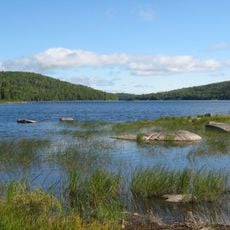
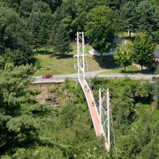
Several parks and nature reserves including Mont-Mégantic and Mont-Orford are scattered across the region, offering spaces for hiking and outdoor exploration. These places give visitors a chance to step away from the towns and experience the forests and mountains that fill much of the landscape.
The community of curious travelers
AroundUs brings together thousands of curated places, local tips, and hidden gems, enriched daily by 60,000 contributors worldwide.