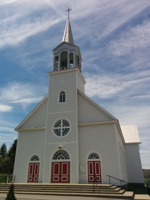
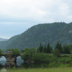
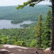
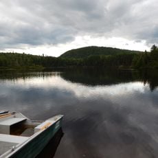
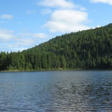
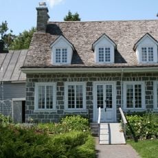
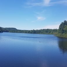
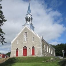
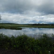
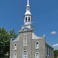
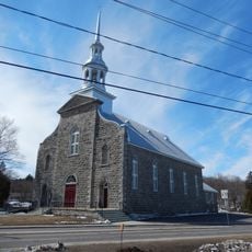
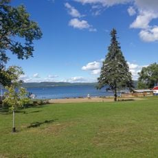
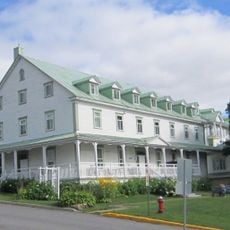
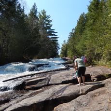
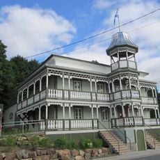
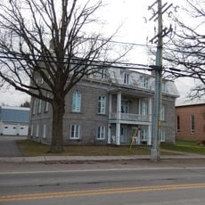
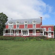
Saint-Zénon, municipality in Quebec, Canada
The community of curious travelers
AroundUs brings together thousands of curated places, local tips, and hidden gems, enriched daily by 60,000 contributors worldwide.
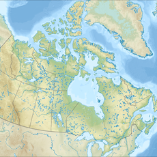
Location
Inception
October 7, 1895
Elevation above the sea
488 m
Shares border with
Saint-Michel-des-Saints, Saint-Damien
Website
GPS coordinates
46.55000,-73.81670
Latest update
March 5, 2025 02:47