Lac-Taureau Regional Park, Regional park in Lanaudière, Quebec, Canada.
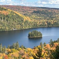
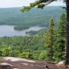
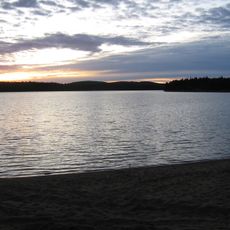
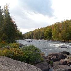
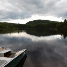
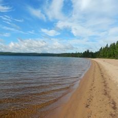
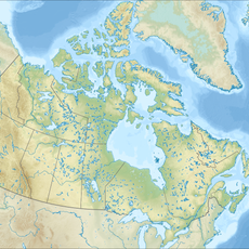
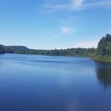
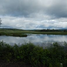
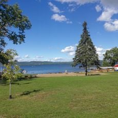
Lac-Taureau Regional Park surrounds the Taureau Reservoir, a 95 km² body of water with 45 islands, in the Matawinie RCM of Lanaudière, 155 km north of Montreal. The reservoir splits into three north-south sections linked by narrow passages, with bays such as Poste, Milieu, Village, Canot Rouge and Barrage. The Matawin River enters on the west and leaves on the east through the Matawin dam.
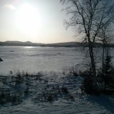
Logging shaped the sector from the mid-19th century: felled timber was stacked on the frozen Matawin River in winter, then floated downstream to the Saint-Maurice and the pulp and paper mills at Grand-Mère, Shawinigan and Trois-Rivières. Recreation initiatives began in 1992, and the regional park was officially created in 2005.
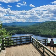
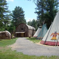
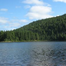
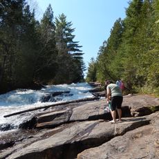
The park borders the Mastigouche Wildlife Reserve and features trail networks showing the natural environment of Quebec across different seasons. Walking through these paths, visitors experience the local woodland and water landscapes that define the region.
The park lies 155 km north of Montreal, with its eastern edge along the Mastigouche Wildlife Reserve. The reservoir splits into three north-south parts joined by narrow passages, with the Matawin dam at Barrage bay controlling the outflow. Trails at Dominique bay total 4.6 km, with a 3.1 km loop option. Rustic campsites sit at Milieu and Poste bays, and outfitters such as Nerrivik Aventures rent kayaks at Milieu bay.
The reservoir holds 45 islands, the largest of which is Lacroix Island in the eastern part; others include Jaune, Grands Vents, Sables Chauche and Barineau in the west, and France, Flottante, Jumelles, Village and Ouest in the centre. The Matawin River enters from the west and leaves on the east side through the Matawin dam, at the bottom of Barrage bay.
The community of curious travelers
AroundUs brings together thousands of curated places, local tips, and hidden gems, enriched daily by 94,137 contributors worldwide.