
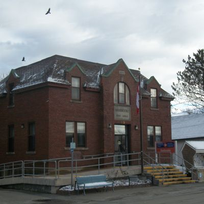
Sherbrooke, human settlement in Nova Scotia, Canada
Location: Nova Scotia
Elevation above the sea: 5 m
Shares border with: Stillwater
GPS coordinates: 45.14056,-61.98389
Latest update: March 9, 2025 13:13
Hector
82.2 km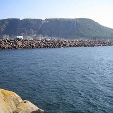
Canso Causeway
71.3 km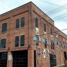
Roseland Theatre
71.7 km
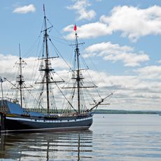
Samson
71 km
Canso Canal Bridge
72 km
Taylor Head Beach
58.2 km
Municipality of the County of Antigonish
51.6 km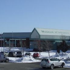
Nova Scotia Museum of Industry
71.2 km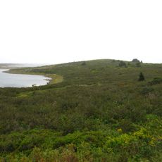
Fort William Augustus
82.2 km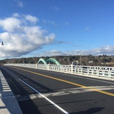
East River Bridge
48.5 km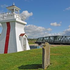
Balache Point Lighthouse
71.9 km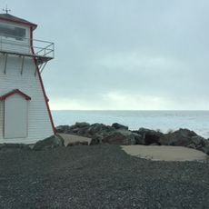
Arisaig Provincial Park
69.9 km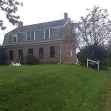
McCulloch House Museum
83.1 km
Fort de Chedabouctou
47.1 km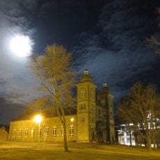
St Ninian's Cathedral
53.4 km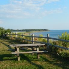
Caribou-Munroes Island Provincial Park
83.2 km
Memory Lane
86.7 km
Black Brook
60.7 km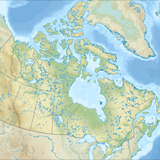
Taylor Head Provincial Park
58 km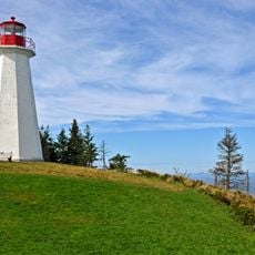
Cape George lighthouse
81.9 km
East River Bridge
48.5 km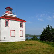
Isaac's Harbour lighthouse
26 km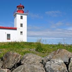
Caribou Point light
88.2 km
Powells Point Provincial Park
72.7 km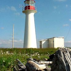
Eddy Point Lighthouse
71.5 km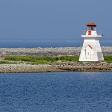
Fisherman's Harbour light
24.2 km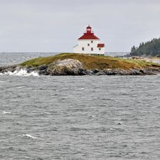
Queensport lighthouse
60.4 km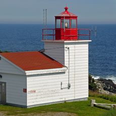
Port Bickerton light station
23 kmReviews
Visited this place? Tap the stars to rate it and share your experience / photos with the community! Try now! You can cancel it anytime.
Discover hidden gems everywhere you go!
From secret cafés to breathtaking viewpoints, skip the crowded tourist spots and find places that match your style. Our app makes it easy with voice search, smart filtering, route optimization, and insider tips from travelers worldwide. Download now for the complete mobile experience.

A unique approach to discovering new places❞
— Le Figaro
All the places worth exploring❞
— France Info
A tailor-made excursion in just a few clicks❞
— 20 Minutes