
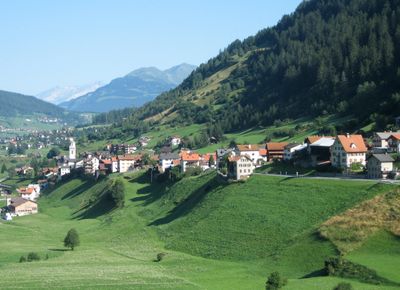
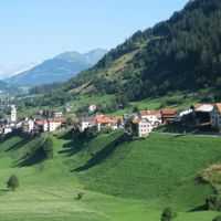
Tinizong-Rona, municipality in Switzerland
Location: Surses
Inception: July 1, 1998
Elevation above the sea: 1,232 m
GPS coordinates: 46.58333,9.61667
Latest update: March 4, 2025 06:14
Corn da Tinizong
5.2 km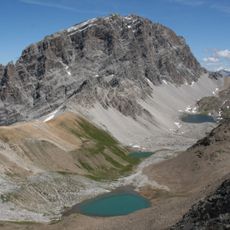
Parc Ela
6 km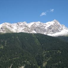
Piz Mitgel
4.1 km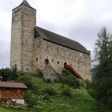
Riom Castle
3.8 km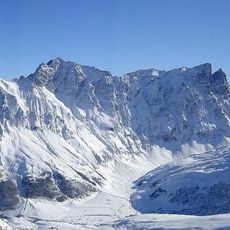
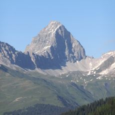
Piz Arblatsch
6.1 km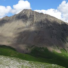
Pizza Grossa
4.5 km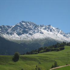
Piz Arlos
3.7 km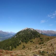
Motta Palousa
6.5 km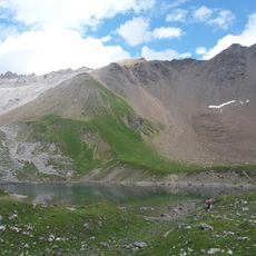
Cotschen
4.9 km
Piz Val Lunga
6.8 km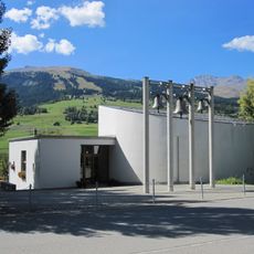
Reformed church of Savognin
2.3 km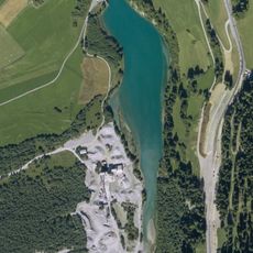
Lai da Burvagn
4.9 km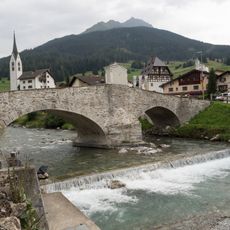
Punt Crap
2.2 km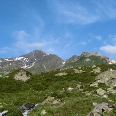
Piz Salteras
7 km
Berghuus Radons
5.5 km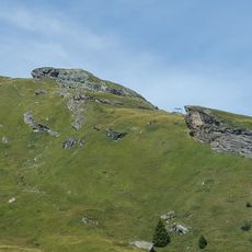
Crap Farreras
5.6 km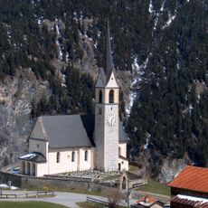
Baselgia catolic Son Gieri, Salouf
5.9 km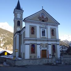
Katholische Pfarrkirche St. Laurentius, Riom
3.9 km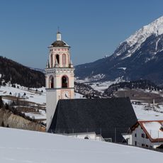
Katholische Pfarrkirche Son Niclo, Parsonz
4.4 km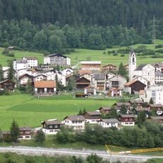
Baselgia c. Son Carlo Borromeo
3.4 km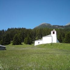
Chapel of Saint Bartholomew, Salaschigns
5.4 km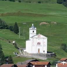
Church St. Martin
2.1 km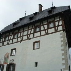
Tgesa Amilcar, Savognin
2.1 km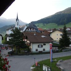
Kirche Nossadonna
2 km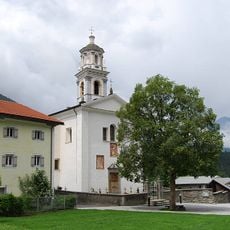
St. Blasius catholic church with rectory
48 m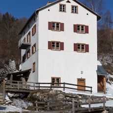
Vigl Muleg mill
6.2 km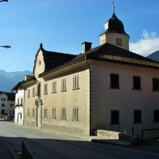
Chasa Peterelli, Savognin
2.1 km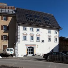
Fontana House
5.6 kmReviews
Visited this place? Tap the stars to rate it and share your experience / photos with the community! Try now! You can cancel it anytime.

Discover hidden gems everywhere you go!
From secret cafés to breathtaking viewpoints, skip the crowded tourist spots and find places that match your style. Our app makes it easy with voice search, smart filtering, route optimization, and insider tips from travelers worldwide. Download now for the complete mobile experience.

A unique approach to discovering new places❞
— Le Figaro
All the places worth exploring❞
— France Info
A tailor-made excursion in just a few clicks❞
— 20 Minutes