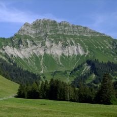
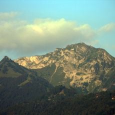
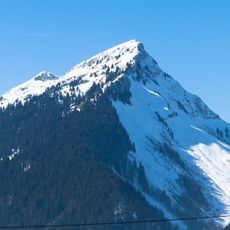
Cape au Moine, Mountain summit in the Swiss Prealps, Switzerland.
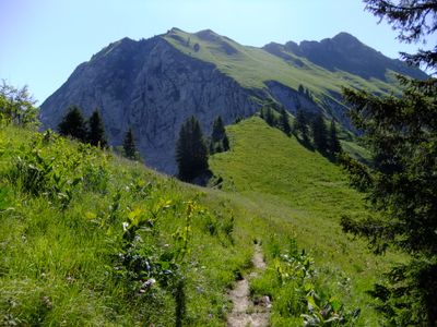
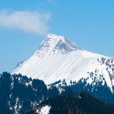
Cape au Moine is a mountain summit in the Swiss Prealps located on the border between Vaud and Fribourg cantons at roughly 1,940 meters in elevation. The peak sits along several marked hiking trails that branch out toward different valleys and access points.
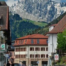
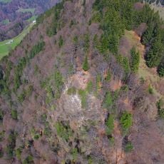
The mountain has formed a natural boundary between Vaud and Fribourg cantons since the definition of modern Swiss territorial divisions. This ridge line became an important geographical reference for establishing administrative boundaries in the region.
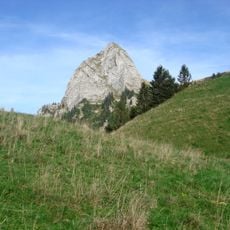
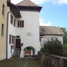
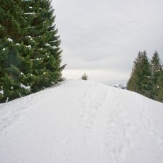
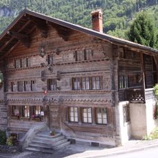
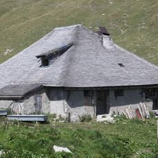
Shepherds have long used the pastures here during summer months to graze cattle and make cheese in small mountain dairies. The place remains connected to the traditional pastoral farming that shapes the local way of life.
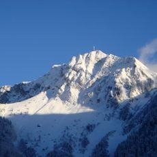
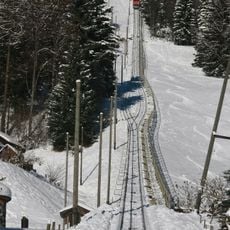
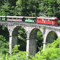
The peak is accessible from multiple starting points on both sides of the border, with routes varying in difficulty depending on your chosen approach. Weather can change quickly at this elevation, so it is worth checking conditions before heading out.
The summit offers simultaneous views of Lake Geneva toward the west and the Gruyere valley toward the east, revealing two distinct landscapes from one vantage point. This interplay of contrasting views makes the peak a rare viewing location in the region.
The community of curious travelers
AroundUs brings together thousands of curated places, local tips, and hidden gems, enriched daily by 60,000 contributors worldwide.