Vanil des Artses, Mountain summit in Canton of Fribourg, Switzerland
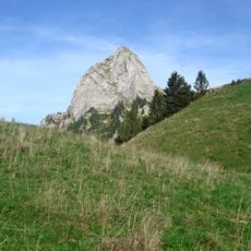
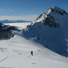
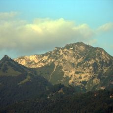
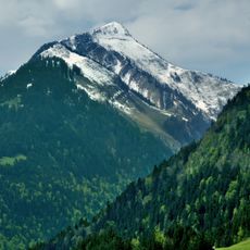
Vanil des Artses is a 1,992-metre summit of the Fribourg Prealps on the ridge between the Hongrin valley to the east and the Veveyse de Fégire valley to the west, on the border of the communes of Châtel-Saint-Denis and Haut-Intyamon. The north-south crest carries the European watershed; the mountain drops northeast in massive rock steps, in local dialect artzes, which gave it its name. The Swiss national map listed the peak as nameless at 1,995 metres from 1847 to 1892, as Les Arches at 2,004 metres from 1893 to 1903, and has called it Vanil des Artses since 1904.
This peak gained attention in modern times through cave exploration when members of the Association des Folliu-Bornés conducted an expedition in 2013 using an internal cave system to reach higher elevations. The exploration revealed the mountain's complex underground structure.
The name comes from the local patois: "vanil" denotes rock bands and couloirs, and "artzes" refers to the massive rock steps on the northeast flank. The ridge marks the western boundary of the Gruyère Pays-d'Enhaut Regional Nature Park. In 2017 cavers installed a small water catchment inside the cave to supply a pasture below.
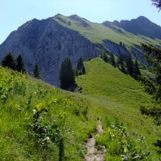
Climbing this peak requires sturdy footwear and caution on rocky terrain, as several sections are steep and slippery. Rope equipment may be helpful in more technical passages.
On 23 August 2013, cavers from the Association des Folliu-Bornés climbed the mountain from the inside: entering the Grotte du Dragon in the Hongrin valley, they passed a 10-metre shaft and a 20-metre chamber called the Salle du Dragon, then broke through a blocking boulder to emerge 25 metres below the summit, crossing the European watershed underground.
The community of curious travelers
AroundUs brings together thousands of curated places, local tips, and hidden gems, enriched daily by 94,052 contributors worldwide.