Geopark Sardona, Geological park in eastern Switzerland
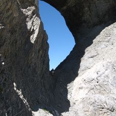
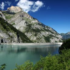
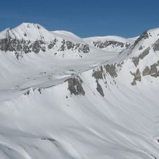
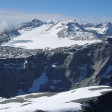
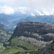
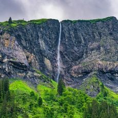
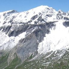
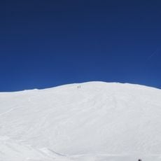
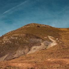
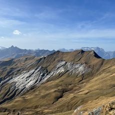
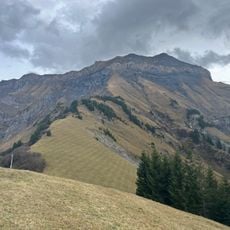
Geopark Sardona spreads across the Swiss cantons of St. Gallen, Glarus, and Graubünden, displaying layered rocks and tectonic structures on slopes reaching up to 3056 meters (10,026 feet). The terrain reveals stacked rock layers and fault lines that make Earth's history visible at every turn.
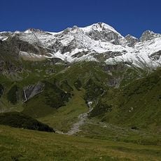
The rock formations developed through the collision of African and European tectonic plates millions of years ago, driving the creation of the Alps. These geological processes left visible traces and shifts that remain readable in the landscape today.
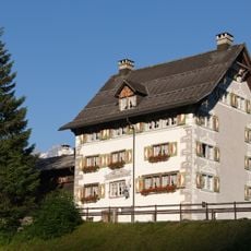
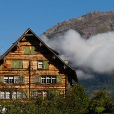
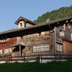
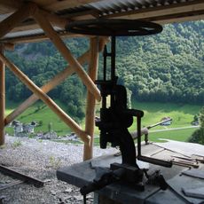
The visitor center in Glarnerland shows how local communities understand and relate to their geological surroundings. The exhibits reveal how these rock formations connect to the regional identity and how people use the landscape in their daily lives.
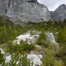
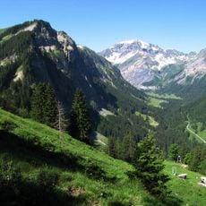
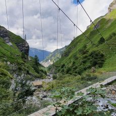
The area offers many marked hiking paths at different difficulty levels, with knowledgeable guides explaining rock formations and mountain-building processes along the way. With proper preparation, visitors can explore the trails in day trips while studying the geological structures up close.
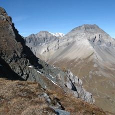
The Glarus thrust is a geological anomaly where older rocks rest atop younger layers, defying traditional expectations of how rocks are arranged in Earth's crust. This feature helped scientists fundamentally rethink how mountains form and move.
The community of curious travelers
AroundUs brings together thousands of curated places, local tips, and hidden gems, enriched daily by 60,000 contributors worldwide.