
Mittaghorn, mountain in Thun administrative district' Switzerland
Location: Thun administrative district
Elevation above the sea: 2,014 m
GPS coordinates: 46.73807,7.77862
Latest update: August 7, 2025 15:20
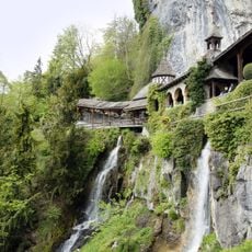
St. Beatus Caves
6 km
Entlebuch Biosphere
2.1 km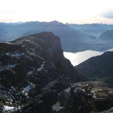
Niederhorn
2.9 km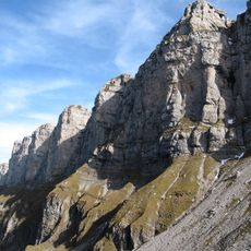
Sieben Hengste
3.9 km
Luegibodenblock
7.4 km
Artilleriewerk Waldbrand
5.3 km
Ralligen estate
5.3 km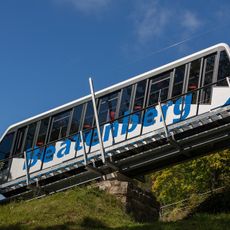
Thunersee–Beatenberg railway
6 km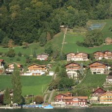
Sperrstelle Beatenbucht
6.2 km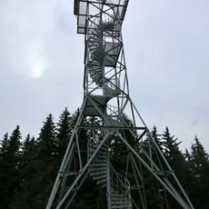
Aussichtsturm Blueme
5 km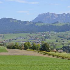
Honegg
7.6 km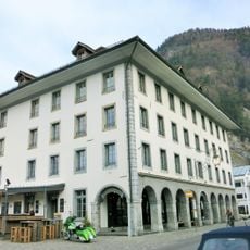
Former Hotel Stadthaus
7.9 km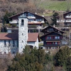
Merligen church
5.4 km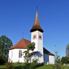
Reformed church with rectory and outbilding
5.7 km
Heiligenschwendi blocking site
7.4 km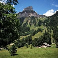
Sigriswiler Rothorn
1 km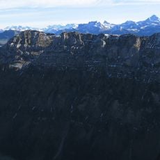
Burgfeldstand
2.2 km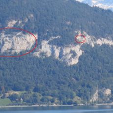
Artilleriewerk Schmockenfluh
5.6 km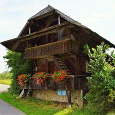
Spycherweg Heiligenschwendi
7.2 km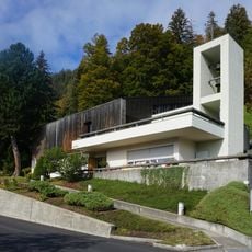
St. Beat
4.8 km
Niederhorn
3.1 km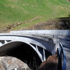
Bohlbach bridge
7 km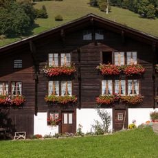
Farmhouse (1625)
4.5 km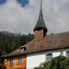
Reformed church with rectory and barn
4.8 km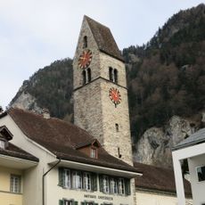
Reformed church
7.8 km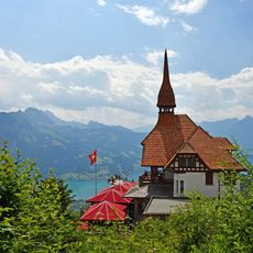
Mountain Restaurant Harder Kulm
7.2 km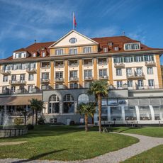
Park Hotel
6.5 km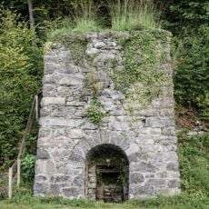
Lime kiln
5.8 kmReviews
Visited this place? Tap the stars to rate it and share your experience / photos with the community! Try now! You can cancel it anytime.
Discover hidden gems everywhere you go!
From secret cafés to breathtaking viewpoints, skip the crowded tourist spots and find places that match your style. Our app makes it easy with voice search, smart filtering, route optimization, and insider tips from travelers worldwide. Download now for the complete mobile experience.

A unique approach to discovering new places❞
— Le Figaro
All the places worth exploring❞
— France Info
A tailor-made excursion in just a few clicks❞
— 20 Minutes