
湯河郷, Gemeinde in China
Location: Fengning Manchu Autonomous County
GPS coordinates: 41.10229,116.51067
Latest update: April 3, 2025 18:16
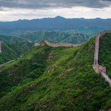
Great Wall of China
84.4 km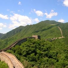
Mutianyu
74.1 km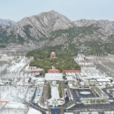
Ding Mausoleum
93.2 km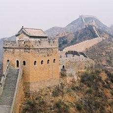
Jinshanling
77.1 km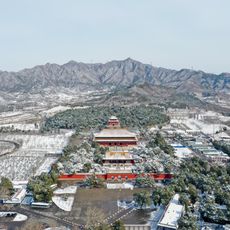
Changling Mausoleum
92 km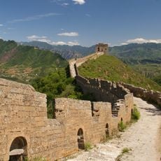
Simatai Great Wall
81.7 km
Jiankou
72.2 km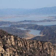
Miyun Reservoir
79.6 km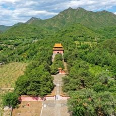
Jingling
92 km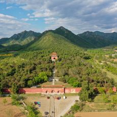
Yongling Mausoleum
93.2 km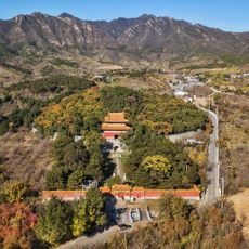
Xianling Tomb of the Ming Dynasty
91.6 km
Longqing Gorge
74.8 km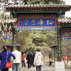
Hongluo Temple
81.8 km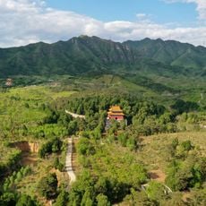
Qingling Mausoleum
91.4 km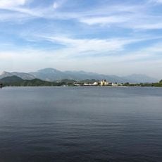
Yanqi Lake
79.8 km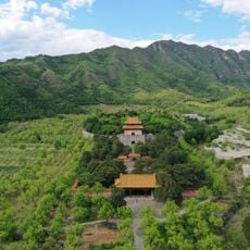
Yuling Mausoleum
90.8 km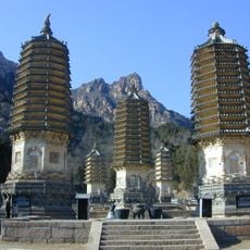
Yinshan Pagoda Forest
88.4 km
Kangling Mausoleum
90.9 km
Deling Mausoleum (Ming dynasty)
93 km
Tailing Mausoleum
90.1 km
Songshan National Nature Reserve, Beijing
85.3 km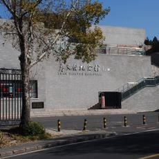
Zhan Tianyou Memorial Hall
93.1 km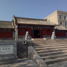
Lingzhao Temple
85.4 km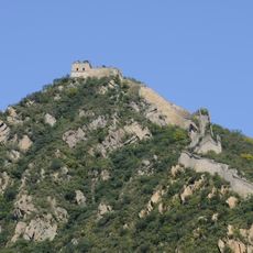
Great Wall of China at Huanghuacheng
78.3 km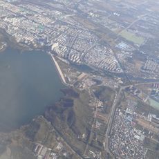
Huairou Reservoir
88.4 km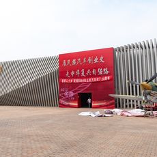
Beijing Vintage Car Museum
90.5 km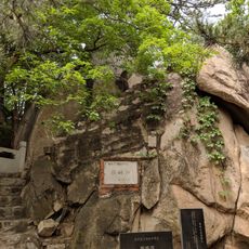
Pipo stone
82.7 km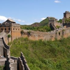
The Great Wall
84.4 kmReviews
Visited this place? Tap the stars to rate it and share your experience / photos with the community! Try now! You can cancel it anytime.
Discover hidden gems everywhere you go!
From secret cafés to breathtaking viewpoints, skip the crowded tourist spots and find places that match your style. Our app makes it easy with voice search, smart filtering, route optimization, and insider tips from travelers worldwide. Download now for the complete mobile experience.

A unique approach to discovering new places❞
— Le Figaro
All the places worth exploring❞
— France Info
A tailor-made excursion in just a few clicks❞
— 20 Minutes