Königs Wusterhausen

Log in to your account

AroundUs is a community-driven map of interesting places, built by curious explorers like you. It grows with every review, story, and photo you share.
Connect to save your favorite spots, contribute locations, and create personalized routes.
Continue with Google
Continue with Apple
Continue with X
Continue with Facebook
Continue with email
By continuing, you accept our Terms and Conditions and our Privacy Policy
Create an account
Add to collection
Map
Suggest a change
Share

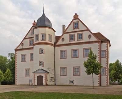
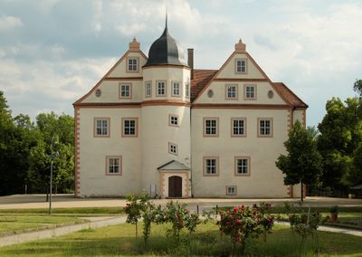
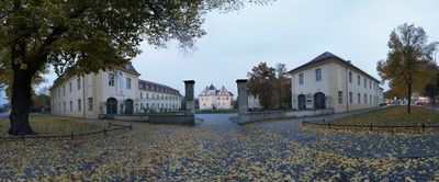
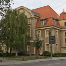
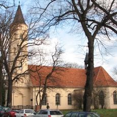
Königs Wusterhausen, Urban municipality in Dahme-Spreewald District, Germany

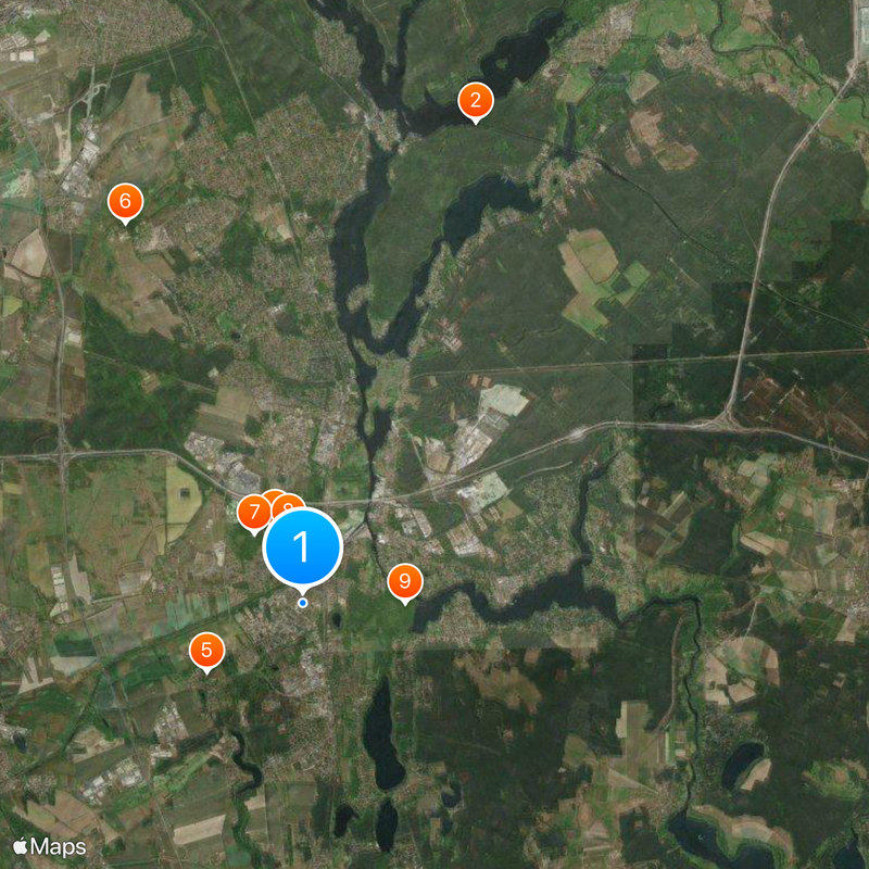
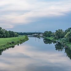
Königs Wusterhausen is a medium-sized district town in Dahme-Spreewald southeast of Berlin and includes several neighborhoods such as Diepensee, Kablow, Niederlehme, Senzig, Wernsdorf, Zeesen and Zernsdorf. The municipal area sits at around 36 meters (118 feet) above sea level and stretches along the Dahme River.

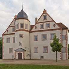
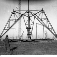
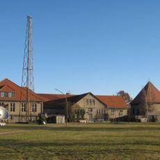
The settlement received its first written mention in 1320 and passed as a fief to the noble Schlieben family during the 15th century. Later the place developed into an important site for communication technology and grew steadily throughout the 20th century.

The public library houses a wide range of media for all age groups and has served for many decades as a meeting point for readers and families. Visitors can use the facility for research or simply browse the shelves in peace.

Regional trains and S-Bahn lines connect the town with Berlin and surrounding communities, while proximity to highways and Berlin Brandenburg Airport makes arrival easier. Visitors can move between the different neighborhoods using public transport or bicycle.

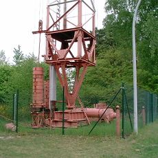
The first German radio transmitter began operations here in 1920 and thereby enabled the start of broadcasting in Germany. This technical milestone attracted international attention and changed the media landscape permanently.

Location: Dahme-Spreewald District

Inception: 1320

Elevation above the sea: 36 m

Shares border with: Mittenwalde, Schönefeld

Website: https://koenigs-wusterhausen.de

GPS coordinates: 52.29167,13.62500

Latest update: December 13, 2025 16:49

Photos
Reviews

Visited this place? Tap the stars to rate it and share your experience / photos with the community! Try now! You can cancel it anytime.

« Königs Wusterhausen - Urban municipality in Dahme-Spreewald District, Germany » is provided by Around Us (aroundus.com). Images and texts are derived from Wikimedia project under a Creative Commons license. You are allowed to copy, distribute, and modify copies of this page, under the conditions set by the license, as long as this note is clearly visible.

Discover hidden gems everywhere you go!

From secret cafés to breathtaking viewpoints, skip the crowded tourist spots and find places that match your style. Our app makes it easy with voice search, smart filtering, route optimization, and insider tips from travelers worldwide. Download now for the complete mobile experience.

Around Us App Screenshot

A unique approach to discovering new places

Le Figaro

All the places worth exploring

France Info

A tailor-made excursion in just a few clicks

20 Minutes