
Zerkall, district of Hürtgenwald
Location: Hürtgenwald
Elevation above the sea: 179 m
GPS coordinates: 50.69194,6.45111
Latest update: May 30, 2025 01:31
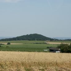
Hill 400
711 m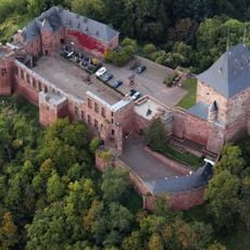
Burg Nideggen
1.9 km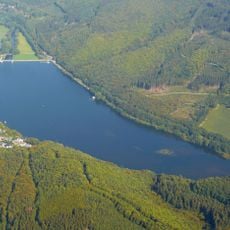
Talsperre Obermaubach
2.7 km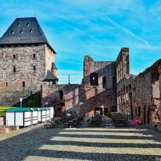
Nideggen Castle
1.9 km
Wildpark Schmidt
3.7 km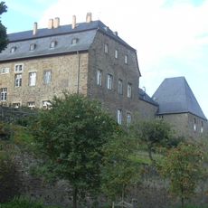
Burg Maubach
3.8 km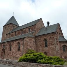
St. Johannes Baptist (Nideggen)
2.1 km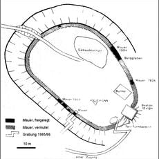
Burg Berenstein
688 m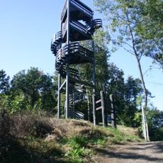
Krawutschke Tower
712 m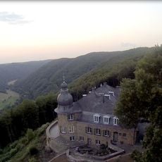
Haus Kickley
1.5 km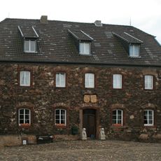
Blens Castle
4.3 km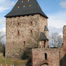
Castle Museum, Nideggen
1.9 km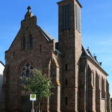
St. Gereon
4 km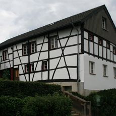
Kölner Eifelhütte
4.2 km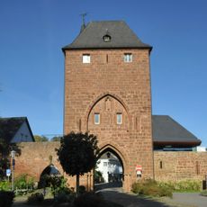
Zülpicher Tor (Nideggen)
2.4 km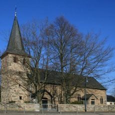
Heilige Maurische Märtyrer
1 km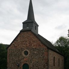
St. Georg
4.3 km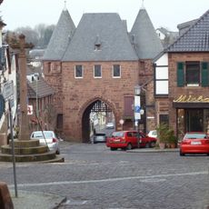
Dürener Tor (Nideggen)
2.3 km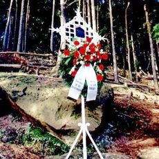
Düsterkreuz
1.5 km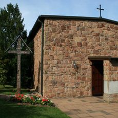
St. Albertus Magnus
3.1 km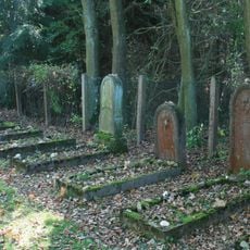
Jüdischer Friedhof Untermaubach
3.7 km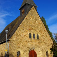
St. Apollinaris
2.9 km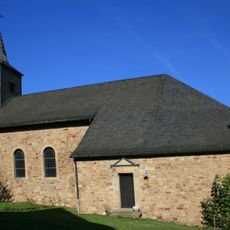
St. Brigida
3.9 km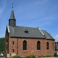
Kapelle St. Martinus (Abenden)
3.2 km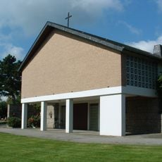
Kapelle Brandenberg
3 km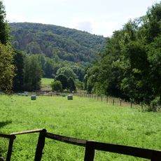
Rurtal von Abenden bis zum Einmündungsbereich der Rur ins Staubecken Obermaubach
1.6 km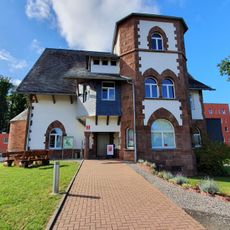
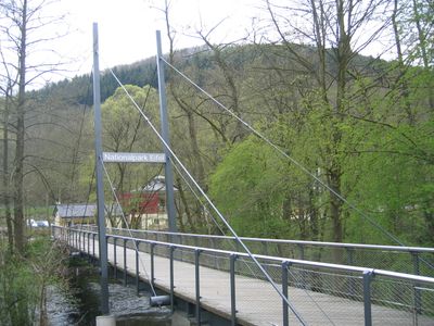
Nationalpark-Tor Nideggen
2.3 km
Hochfläche und Täler bei Schmidt
3.6 kmReviews
Visited this place? Tap the stars to rate it and share your experience / photos with the community! Try now! You can cancel it anytime.
Discover hidden gems everywhere you go!
From secret cafés to breathtaking viewpoints, skip the crowded tourist spots and find places that match your style. Our app makes it easy with voice search, smart filtering, route optimization, and insider tips from travelers worldwide. Download now for the complete mobile experience.

A unique approach to discovering new places❞
— Le Figaro
All the places worth exploring❞
— France Info
A tailor-made excursion in just a few clicks❞
— 20 Minutes