Schloß Holte-Stukenbrock
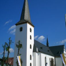
Schloß Holte-Stukenbrock, Urban municipality in Gütersloh district, Germany.
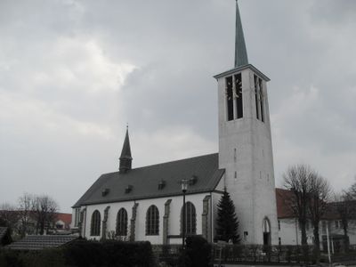
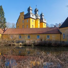
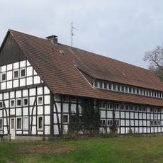
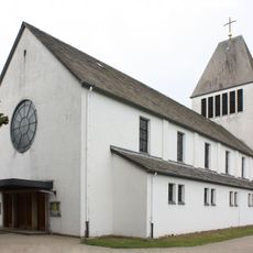
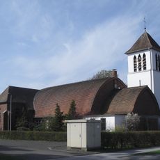
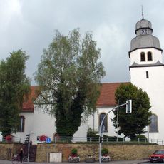
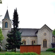
Schloss Holte-Stukenbrock is a municipality in the Gütersloh region of North Rhine-Westphalia and combines two historically grown villages into one modern town. The urban area includes residential neighborhoods, business districts, and open spaces that shape daily life for residents.
The municipality was formed in 1973 through the merger of two separate villages, creating a new administrative unit in the region. This union was an important step in modernizing administrative structures across North Rhine-Westphalia.
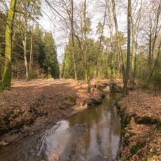
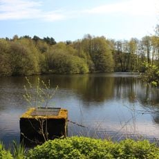
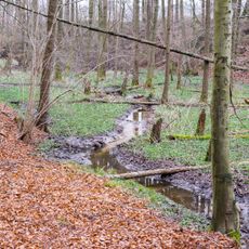
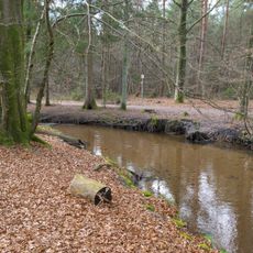
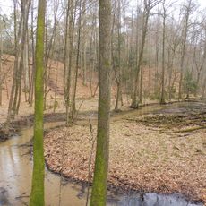
The municipality serves as the source point of the Ems River, connecting numerous communities through its waterway network across North Rhine-Westphalia.
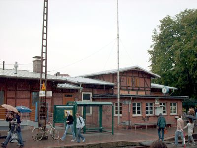
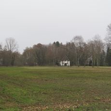
The town lies east of Gütersloh and offers good connections to regional transportation routes and local services. Visitors find a typical mid-sized German town with easy distances between main areas.
The municipality maintains precise demographic records, documenting 27,467 residents with a balanced distribution of 13,567 males and 13,900 females.
Location: Gütersloh
Elevation above the sea: 140 m
Shares border with: Verl, Augustdorf, Hövelhof, Oerlinghausen, Bielefeld, Schlangen
Website: http://schloss-holte-stukenbrock.de
GPS coordinates: 51.88333,8.61667
Latest update: December 6, 2025 21:28
Safariland Stukenbrock
4.7 km
Schloß Holte
2 km
1000-jährige Eiche
2 km
Ölbachtal mit Augustdorfer Dünenfeld
6.4 km
Holter Wald
2.9 km
St. Maria Immaculata
4.6 km
Beckhof
4.9 km
Kipshagener Teiche
2.8 km
Eichen-Buchenwald Strothbach
5.5 km
St. Heinrich (Sende)
4.8 km
Wehrbachtal
3 km
Hof Johannliemke
3 km
St. Achatius
5.3 km
Menkhauser Bachtal mit Schopketal
6.1 km
Rixelbruch
3.2 km
Ramselbruch
4.9 km
St. Johannes Baptist
4.2 km
Evangelische Kirche
9.1 km
LSG-Obere Senne
4.5 km
Moosheide
6.1 km
Trockentäler, Kastentäler und Dünen des oberen Westerholter Baches
6.2 km
LSG-Stuckenbrocker Lehmplatten, Holter Wald und obere Senne und Neuenkirchener Sandebene
3 km
Holter Wald
2.5 km
Schluchten und Moore am oberem Furlbach
5.7 km
Schluchten und Moore am oberem Furlbach
7.1 km
Moosheide
5.3 km
LSG-Teutoburger Wald mit Brackweder Osning und Obere Senne mit Wistinghauser-, Haustenbecker- und Augustdorfer Senne und Ausläufern der Stukenbroker Lehmplatten
7 km
Hermannsberg
10 kmReviews
Visited this place? Tap the stars to rate it and share your experience / photos with the community! Try now! You can cancel it anytime.
Discover hidden gems everywhere you go!
From secret cafés to breathtaking viewpoints, skip the crowded tourist spots and find places that match your style. Our app makes it easy with voice search, smart filtering, route optimization, and insider tips from travelers worldwide. Download now for the complete mobile experience.
A unique approach to discovering new places❞
— Le Figaro
All the places worth exploring❞
— France Info
A tailor-made excursion in just a few clicks❞
— 20 Minutes