
Wöllstein, Verbandsgemeinde in Rhineland-Palatinate
Location: Alzey-Worms
Website: http://www.woellstein.de/
Website: http://woellstein.de
GPS coordinates: 49.81390,7.96194
Latest update: April 18, 2025 14:16
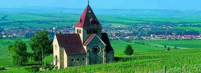
Inclined tower of Gau-Weinheim
7.2 km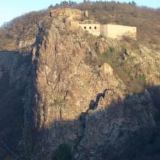
Rheingrafenstein Castle
8 km
Rhenish-Hessian Switzerland
5.9 km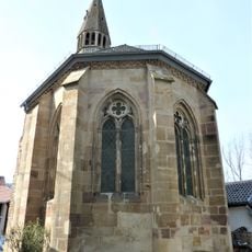
Hof Iben
5.2 km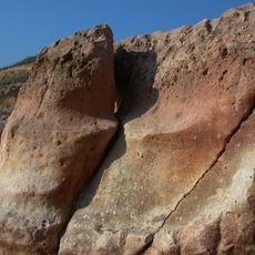
Brandungskliff am Steigerberg
3.6 km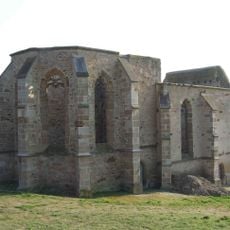
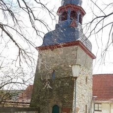
Beller Kirche
3.1 km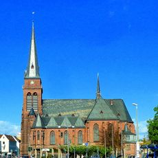
Heilig-Kreuz-Kirche (Bad Kreuznach)
7.8 km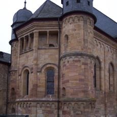
Stiftskirche (Pfaffen-Schwabenheim)
4.1 km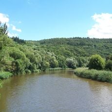
Gans und Rheingrafenstein
7.7 km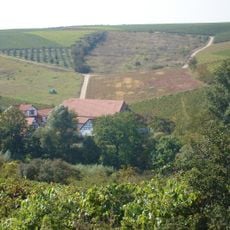
Geistermühle
5.9 km
Neu-Baumburg
3.2 km
Zum Heilgen Blut Christi Church, Armsheim
6.9 km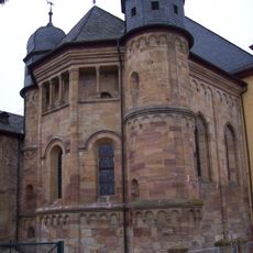
St. Mariä Himmelfahrt
4 km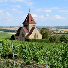
Holy Cross Chapel
6 km
Zotzenheimer Horn
7.9 km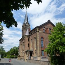
Diakoniekirche
7.6 km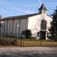
Synagogue in Bad Kreuznach (ex US Army chapel)
6.7 km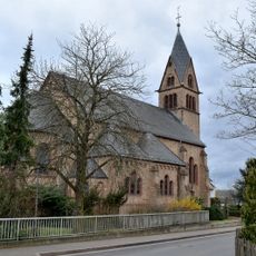
St. Gordianus (Planig)
6.5 km
Haus Hinkel
6.2 km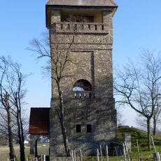
Wöllstein water tower
1.2 km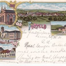
Synagoge Fürfeld
6.6 km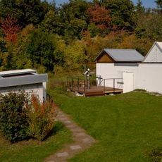
Volkssternwarte Bad Kreuznach
7.4 km
Neu-Bamberger-Heide
3.3 km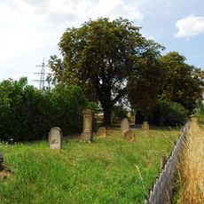
Jüdischer Friedhof Bretzenheim
8 km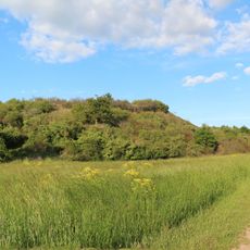
Aulheimer Tälchen
6.9 km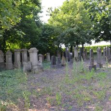
Jewish Cemetery (Wallertheim)
7.8 km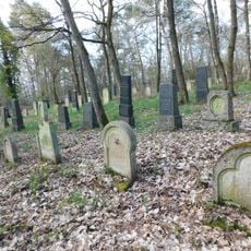
Jüdischer Friedhof
5.7 km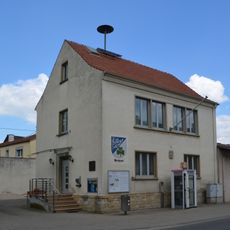
Rathaus (Wallertheim)
6.8 kmReviews
Visited this place? Tap the stars to rate it and share your experience / photos with the community! Try now! You can cancel it anytime.
Discover hidden gems everywhere you go!
From secret cafés to breathtaking viewpoints, skip the crowded tourist spots and find places that match your style. Our app makes it easy with voice search, smart filtering, route optimization, and insider tips from travelers worldwide. Download now for the complete mobile experience.

A unique approach to discovering new places❞
— Le Figaro
All the places worth exploring❞
— France Info
A tailor-made excursion in just a few clicks❞
— 20 Minutes