
Dingsleben, municipality in Thuringia, Germany
Location: Landkreis Hildburghausen
Elevation above the sea: 435 m
Website: https://verwaltungsgemeinschaft-feldstein.de/verzeichnis/objekt.php?mandat=99454
GPS coordinates: 50.43315,10.59569
Latest update: March 2, 2025 22:13
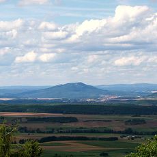
Großer Gleichberg
5 km
Oppidum Steinsburg
2.4 km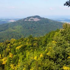
Kleiner Gleichberg
2.5 km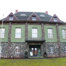
Steinsburgmuseum
3.8 km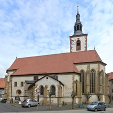
Stiftskirche Römhild
5.6 km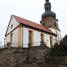
St. Kilian
6.2 km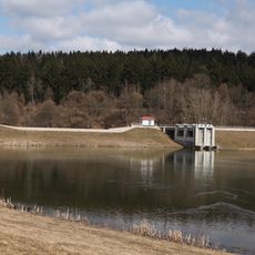
Lac de Grimmelshausen
5.9 km
Wallfahrtskirche St. Ottilien
7.1 km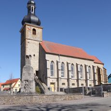
Johanniskirche
4.1 km
St. Oswald
3.2 km
St. Nikolaus
6.9 km
Dorfkirche Reurieth
4.8 km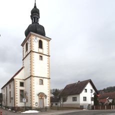
St. Nicolaus und St. Margarethe
80 m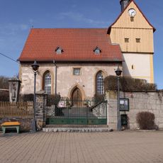
St. Marien
4.7 km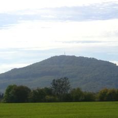
Gleichberge
5 km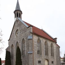
St. Martin (St. Bernhard)
3 km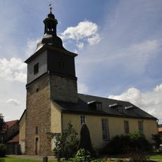
St. Johannes (Haina)
4.1 km
St.-Valentin-Kirche
6.7 km
St. Marien (Simmershausen)
7.7 km
St.-Marien-Kirche
6.4 km
Gemeindehaus Grimmelshausen
6 km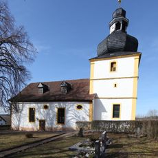
St.-Nikolas-Kirche (Pferdorf)
5.5 km
Gustav-Adolf-Kirche
4.4 km
Dorfkirche Exdorf
4.5 km
St. Johannis (Wachenbrunn)
6.5 km
Schloss Bedheim
6.1 km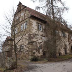
Castle Bedheim
6.1 km
Protestant Church (Milz)
7.5 kmReviews
Visited this place? Tap the stars to rate it and share your experience / photos with the community! Try now! You can cancel it anytime.
Discover hidden gems everywhere you go!
From secret cafés to breathtaking viewpoints, skip the crowded tourist spots and find places that match your style. Our app makes it easy with voice search, smart filtering, route optimization, and insider tips from travelers worldwide. Download now for the complete mobile experience.

A unique approach to discovering new places❞
— Le Figaro
All the places worth exploring❞
— France Info
A tailor-made excursion in just a few clicks❞
— 20 Minutes