
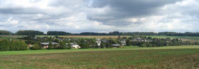
Klosterkumbd, municipality of Germany
Location: Rhein-Hunsrück-Kreis
Elevation above the sea: 403 m
Shares border with: Alterkülz, Laubach
Website: http://klosterkumbd.com
GPS coordinates: 50.02861,7.53583
Latest update: March 13, 2025 13:42
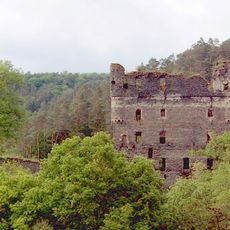
Burg Balduinseck
13.4 km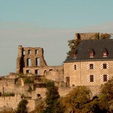
Castle Kastellaun
8.4 km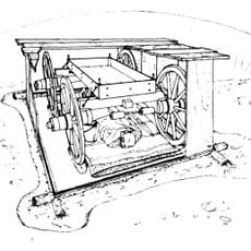
Wagengrab von Bell
8.7 km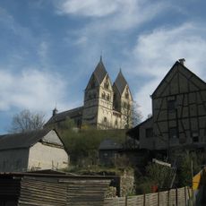
Kloster Ravengiersburg
11.2 km
Gossberg
8.2 km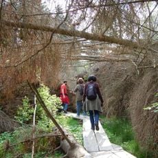
Kyrillpfad Kastellaun
7.1 km
Radarstation Goßberg
8.2 km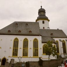
Stephanskirche Simmern
5 km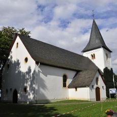
Nunkirche
10.5 km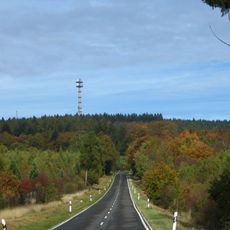
Schanzerkopf
10.6 km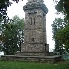
Bismarck Tower
10.2 km
Landwehr
7 km
Masdascher Burgherrenweg
13.5 km
Simmerkopf
11.1 km
Alte Burg
8.1 km
Burg Braunshorn
7.1 km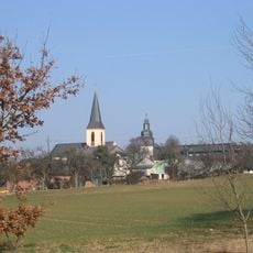
Evangelische Kirche Kappel
13 km
Dudenrother Schanze
6.6 km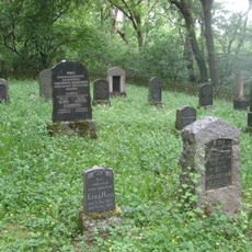
Jüdischer Friedhof
5.8 km
Struth
9.1 km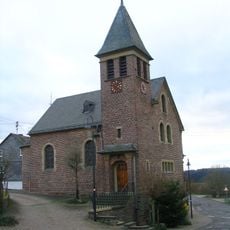
Bartholomäuskapelle
12.3 km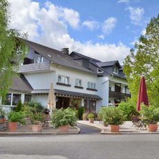
Hotel-Restaurant Birkenhof
944 m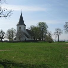
Nunkirche mit Rochusfeld
10.4 km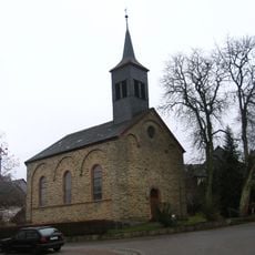
Evangelische Kirche Leideneck
12.3 km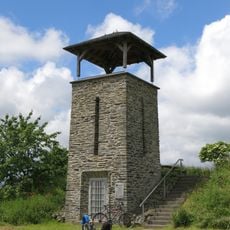
Bell Observation Tower
9.2 km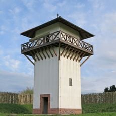
Galgenturm
13.9 km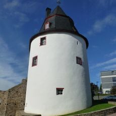
Schinderhannes Tower
5 km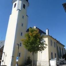
St. Josef (Simmern/Hunsrück)
5.1 kmVisited this place? Tap the stars to rate it and share your experience / photos with the community! Try now! You can cancel it anytime.
Discover hidden gems everywhere you go!
From secret cafés to breathtaking viewpoints, skip the crowded tourist spots and find places that match your style. Our app makes it easy with voice search, smart filtering, route optimization, and insider tips from travelers worldwide. Download now for the complete mobile experience.

A unique approach to discovering new places❞
— Le Figaro
All the places worth exploring❞
— France Info
A tailor-made excursion in just a few clicks❞
— 20 Minutes