Enable Location

We need your location to show you interesting places around you

Discover nearby places

Find interesting locations and hidden gems around you

Precise directions

Get accurate directions and distances to places

Your location is never shared with other users. It's only used when you tap the location button.

Log in to your account

Start exploring — it's free

Trusted by 62,211 travelers worldwide

Continue with Google
Continue with Apple
or

We will send you a code to connect

By continuing, you accept our Terms and Conditions and our Privacy Policy

Check your inbox

We've sent a pincode in your inbox. Please enter the code below.

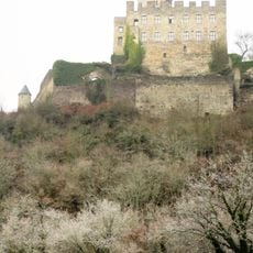
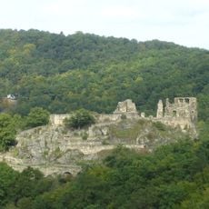
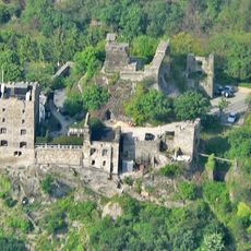
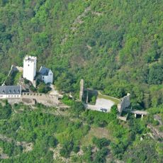
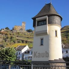
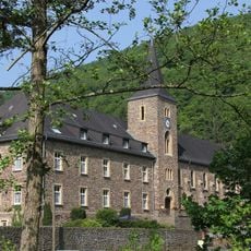
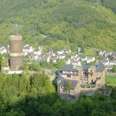
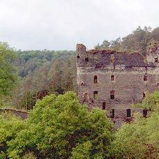
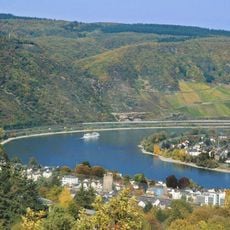
Rhein-Hunsrück-Kreis, Administrative district in Rhineland-Palatinate, Germany.

Rhein-Hunsrück-Kreis is an administrative district in Rhineland-Palatinate situated between the Rhine River and the Hunsrück hills. The administrative center is located in the town of Simmern.

The district was created in 1969 through the merger of two former districts, St. Goar and Simmern. This consolidation established the administrative structure that exists today.

The district maintains partnerships with regions in France, Rwanda, and Hungary, which foster exchanges between people from different countries. These connections shape daily life and reflect the openness of local communities.

Visitors can find district administration offices in several municipalities offering services such as vehicle registration and driver licensing. The main services are easily accessible through these distributed locations.

Frankfurt-Hahn Airport operates within the district boundaries, making it an important transportation hub. This airport plays a significant role in connecting the region to other parts of Europe.

The community of curious travelers

AroundUs brings together thousands of curated places, local tips, and hidden gems, enriched daily by 60,000 contributors worldwide.

Start exploring
Capital city
Simmern
Elevation above the sea
429 m
Shares border with
Mayen-Koblenz, Rhein-Lahn-Kreis, Mainz-Bingen district, Bad Kreuznach, Birkenfeld, Bernkastel-Wittlich, Cochem-Zell
GPS coordinates
50.08000,7.50000
Latest update
December 18, 2025 20:09
« Rhein-Hunsrück-Kreis - Administrative district in Rhineland-Palatinate, Germany » is provided by Around Us (aroundus.com). Images and texts are derived from Wikimedia project under a Creative Commons license. You are allowed to copy, distribute, and modify copies of this page, under the conditions set by the license, as long as this note is clearly visible.

Discover hidden gems everywhere you go!

From secret cafés to breathtaking viewpoints, skip the crowded tourist spots and find places that match your style. Our app makes it easy with voice search, smart filtering, route optimization, and insider tips from travelers worldwide. Download now for the complete mobile experience.

Around Us App Screenshot

A unique approach to discovering new places

Le Figaro

All the places worth exploring

France Info

A tailor-made excursion in just a few clicks

20 Minutes

Around Us
Travel Guide & Maps
Download

Send to your phone

QR Code
1

Open the camera app on your mobile.

2

Point at the QR code with your camera. A notification will appear.

3

Tap the notification to open the link.