Krauchenwies, municipality in Germany
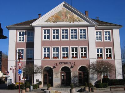
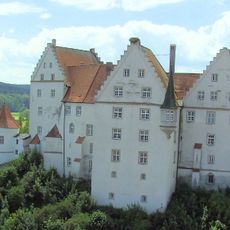
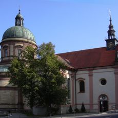
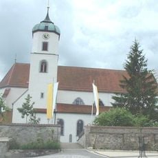
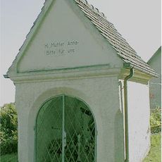
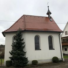
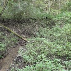
Krauchenwies is a small village in Landkreis Sigmaringen, Baden-Württemberg, surrounded by fields, forests, and gentle hills. The settlement consists of quiet residential homes and farmhouses, with an old church tower marking the center and several historic buildings shaping the peaceful village character.
The village was first mentioned in records in 1202 under the name Cruchinwis, indicating the former meadowland that gave it its name. Over centuries it changed hands between local noble families, including the Hohenzollerns, and was connected to nearby monasteries at various times.
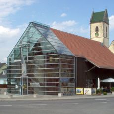
The village takes its name from the meadows that once shaped this landscape. Residents keep their traditions alive through small festivals and markets where local craftspeople and farmers sell their goods and pass stories from one generation to the next.
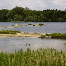
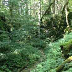
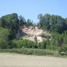
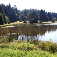
The village is accessible by a small train station connecting it to nearby towns, or via country roads and local bus services. The best time to explore is year-round, though summer invites visits to the former quarry lakes for swimming and walks through the surrounding forests and fields.
Local stories tell that Emperor Wilhelm I once visited the village, prompting grand celebrations and music in its quiet streets. The tale shows how this small place, despite its remoteness, held a place in regional history.
The community of curious travelers
AroundUs brings together thousands of curated places, local tips, and hidden gems, enriched daily by 60,000 contributors worldwide.