Birkenwerder, municipality in Brandenburg state, Germany
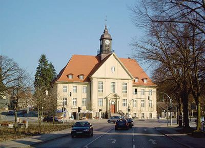
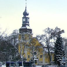
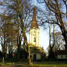
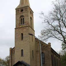
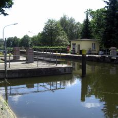
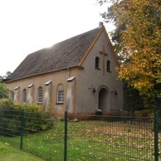
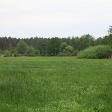
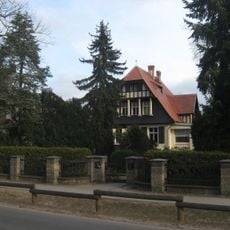
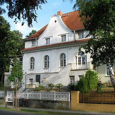
Birkenwerder is a small municipality in Oberhavel District in Brandenburg near Berlin. It spreads across green spaces with residential areas, a town center featuring a town hall and church, and waterways including the Oder-Havel Canal and a harbor.
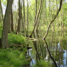
Birkenwerder developed as a settlement along waterways that had long served trade and transport. The town gained importance over 100 years ago when Berliners discovered the area for outings and relaxation, leading to the rise of cafes and dance halls.
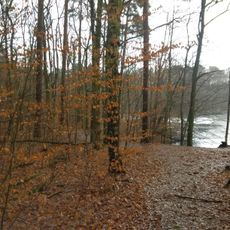
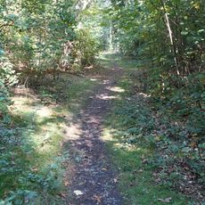
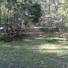
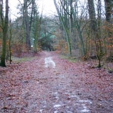
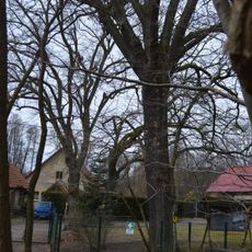
The name Birkenwerder refers to the birch trees that have grown here for centuries and to the islands in the rivers called werder. These trees are visible throughout the town and along the water, giving the place its green character and showing how closely the settlement connects with nature.
The town is easiest to reach by train, and from the station a pleasant walking path leads to the town center and tourist information. The terrain is relatively flat and paths are well-developed, making everything accessible on foot or by bicycle.
The town was already a favorite excursion spot for Berlin dance enthusiasts during the Weimar period, where they could try the latest dance styles in various dance halls. This tradition of hospitality and social gathering remains noticeable today.
The community of curious travelers
AroundUs brings together thousands of curated places, local tips, and hidden gems, enriched daily by 60,000 contributors worldwide.