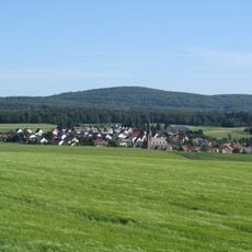
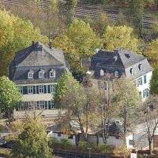
Womrather Höhe, Mountain summit in Rhineland-Palatinate, Germany.
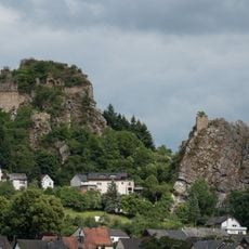
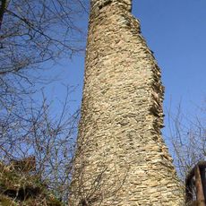
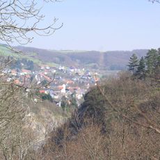
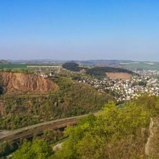
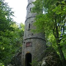
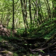
Womrather Höhe is a forested hill reaching 599.1 m above sea level, the highest point of the Lützelsoon, a range within the Hunsrück. It lies on the boundary between Schlierschied in the Rhein-Hunsrück-Kreis and Kellenbach in the Bad Kreuznach district. On its southwestern flank stands the Teufelsfels, a quartzite rock formation with the observation tower known as Langer Heinrich, about 2 km southwest of the summit.
The hill was named after the parish of Womrath, 7 kilometres to the north, which held three plots of land on what is now Schlierschied territory on the Womrather Höhe until a major exchange of forest estates in the region in 1966. The summit lies on the boundary between Schlierschied and Kellenbach.
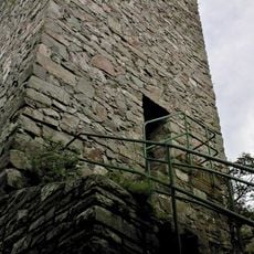
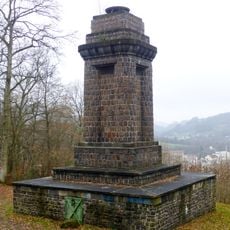
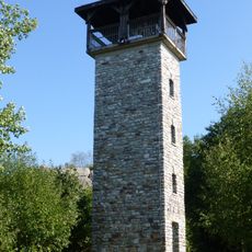
The hill is named after Womrath, a parish 7 km to the north that held three plots on the Womrather Höhe until the forest exchange of 1966. On the Teufelsfels, about 2 km southwest of the summit, stands the observation tower called Langer Heinrich, from which the Lützelsoon and its surroundings can be seen.
The E3 European long-distance trail and the Soonwaldsteig run over the hill, but the observation tower Langer Heinrich stands on the Teufelsfels rock formation about 2 km southwest of the summit, not on the summit itself. The hill lies on the boundary between Schlierschied and Kellenbach, with Hennweiler's municipal area adjoining to the south near the top.
Several streams such as the Kellenbach and Hahnenbach spring from the slopes of the mountain and flow into the surrounding valleys. These water sources create small brooks that shape the landscape character of the region.
The community of curious travelers
AroundUs brings together thousands of curated places, local tips, and hidden gems, enriched daily by 94,341 contributors worldwide.