Ellenbogen, Extinct volcano summit in Thuringian Rhön, Germany.
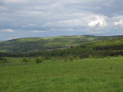
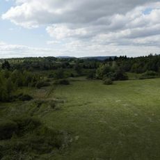
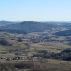
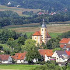
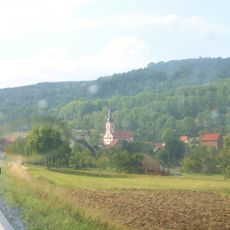
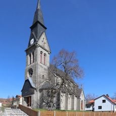
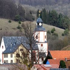
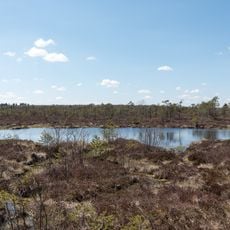
Ellenbogen is an extinct volcano summit in the Thuringian Rhön mountains, rising to 814 meters above sea level. The gently curving plateau is surrounded by the villages of Oberweid, Frankenheim, and Reichenhausen, all situated within the Rhön Biosphere Reserve.
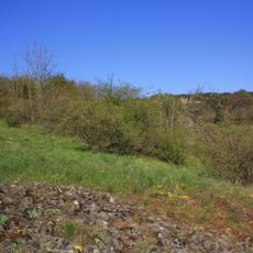
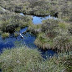
The mountain formed through volcanic activity millions of years ago, shaping the distinctive landscape of the Thuringian Rhön range. This geological history makes the summit an integral part of the region's prominent mountain chain.
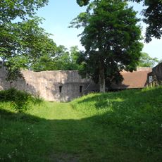
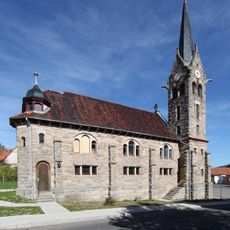
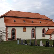
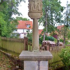
The two mountain lodges, Eisenacher Haus and Thüringer Rhönhaus, serve as meeting places where visitors and local residents gather to celebrate regional traditions. You can experience the hospitality and connection people have with their mountain surroundings through these communal spaces.
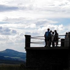
The summit is accessible via several marked hiking trails, with designated parking areas and wheelchair-accessible paths for visitors of different mobility levels. The well-marked routes and spacious pathways make it easy for most people to reach the plateau comfortably.
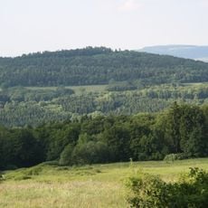
From the mountain top, visitors can look out across the vast Rhön landscape while spotting other well-known peaks like Milseburg and Wasserkuppe. Wasserkuppe stands as the highest elevation in the entire Rhön range, serving as a striking landmark when exploring the region.
The community of curious travelers
AroundUs brings together thousands of curated places, local tips, and hidden gems, enriched daily by 60,000 contributors worldwide.