
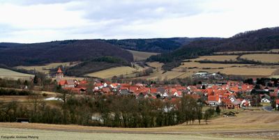
Röhrda, human settlement in Germany
Location: Ringgau
Elevation above the sea: 279 m
GPS coordinates: 51.10250,10.05830
Latest update: March 12, 2025 10:38
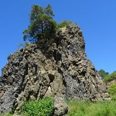
Blaue Kuppe
6.1 km
Graburg
4 km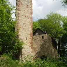
Boyneburg
3.4 km
Boyneburg und Schickeberg bei Breitau
4.3 km
Herrenhaus Hohenhaus
7 km
Altes Boyneburger Schloss
6.2 km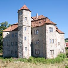
Wasserschloss Netra
2.3 km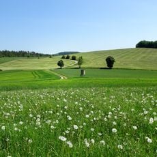
Wälder und Kalkmagerrasen der Ringgau Südabdachung
6.5 km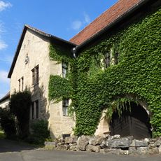
Schloss Lüderbach
6.2 km
Burg Röhrda
352 m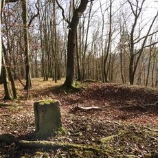
Burg Taubenberg
6.5 km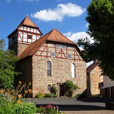
St. Martin
6.2 km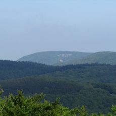
Rabenkuppe
3.3 km
Naturschutzgebiet Dreiherrenstein-Eschenberg-Kreutzerberg
6.6 km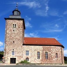
Evangelische Pfarrkirche Datterode
3 km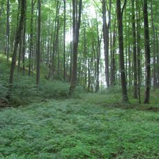
Kalkberge bei Röhrda und Weißenborn
4.3 km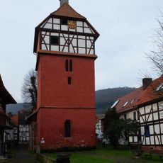
St. Martin Hoheneiche
6.7 km
Wüstungskirche beim Hof Harmuthshausen
2.3 km
Feuchtwiesen bei Lüderbach
6.1 km
Triftbuche im Feld bei Renda
5.7 km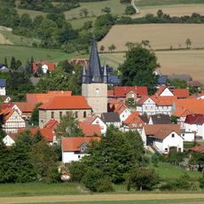
Evangelische Kirche
2.4 km
Rendaer Höhe
5.2 km
Wald südöstlich von Netra
5.2 km
Evangelische Kirche
6.3 km
Steinkreuz zwischen Breitau und Ulfen
6.3 km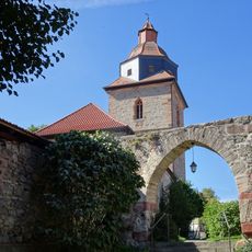
Evangelische Kirche
350 m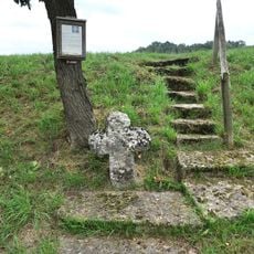
Leprakreuz bei Lüderbach
6.8 km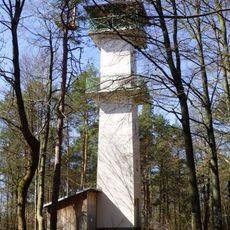
Berliner Turm
3.8 kmVisited this place? Tap the stars to rate it and share your experience / photos with the community! Try now! You can cancel it anytime.
Discover hidden gems everywhere you go!
From secret cafés to breathtaking viewpoints, skip the crowded tourist spots and find places that match your style. Our app makes it easy with voice search, smart filtering, route optimization, and insider tips from travelers worldwide. Download now for the complete mobile experience.

A unique approach to discovering new places❞
— Le Figaro
All the places worth exploring❞
— France Info
A tailor-made excursion in just a few clicks❞
— 20 Minutes