Arnsberg Forest Nature Park, Nature park in North Rhine-Westphalia, Germany.
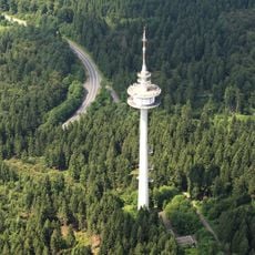
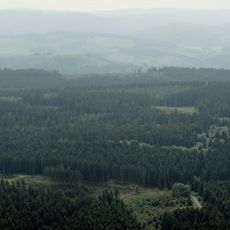
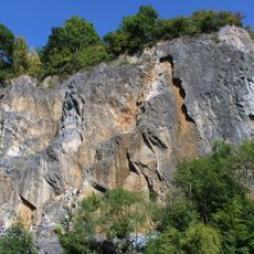
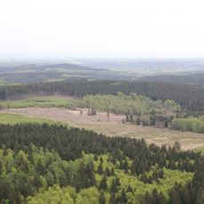
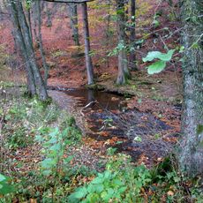
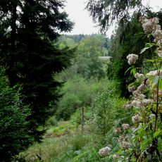
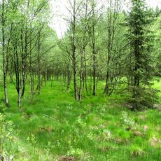
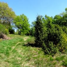
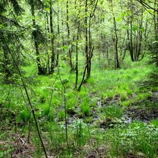
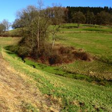
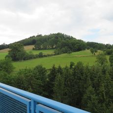
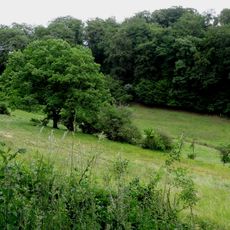
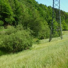
Arnsberg Forest Nature Park is a large woodland protected area between the Möhne and Ruhr Rivers with continuous forests and varied landscape. The area has a dense network of hiking trails that pass through different woodland types and connect numerous villages.
The nature park was established in 1961 to permanently protect and conserve the region's extensive woodland areas. Its creation was part of a growing movement to protect nature in Germany following World War II.
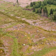
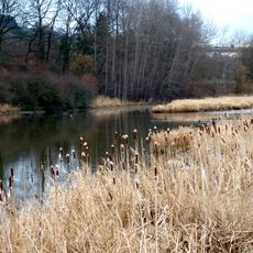
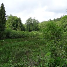
The forest is home to rare animal and plant species that thrive across different woodland types. Visitors walking the trails can directly experience this variety and understand why this place matters for local biodiversity.
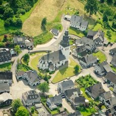
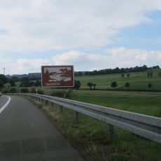
The area has several entry points with information centers where visitors can get maps and tips for exploring. The trails are well marked and suitable for different fitness levels, making both short and longer hikes possible.
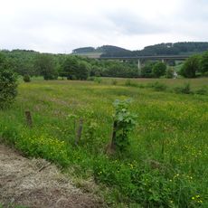
A marked long-distance hiking trail extends across the entire region and invites multi-day hikes, with special rest spots along the route. This path lets visitors explore the forest area over time and discover its variety.
Location: Hochsauerlandkreis
Location: Soest
Inception: 1961
Elevation above the sea: 414 m
Website: http://naturpark-arnsberger-wald.de
GPS coordinates: 51.39556,8.34611
Latest update: December 6, 2025 17:41
North Rhine-Westphalia contains many sites that demonstrate the historical and cultural richness of this German region. Millennia-old geological formations, Roman relics, medieval fortresses, and industrial era monuments reveal different aspects of the regional heritage. These destinations include...
Lörmecke-Turm
33 m
Bilsteinhöhle
3.7 km
Burg Eversberg
3.9 km
Fernmeldeturm Meschede
4.3 km
Stadtkirche St. Pankratius
5.3 km
Plackweghöhe
4 m
St. Johannes Evangelist
3.7 km
Saint Andrew Church
4.7 km
Steinbruch Hillenberg
4.5 km
Heimatmuseum Eversberg
3.6 km
Liethöhle und Bachschwinden des Wäschebaches
5 km
Hamorsbruch und Quellbäche
3.5 km
Hamorsbruch / Bermecke
3.1 km
Bestwiger Ruhrtal
5.2 km
Aschholter Becke
2.4 km
Talsystem Kohlweder Bach
2.5 km
Kleines Steinmecketal
4.2 km
Lörmecketalsystem
2.5 km
Schnettenberg
3.6 km
Oberes Lörmecketal
963 m
Ruhrtal östlich Meschede
4.5 km
Freiflächen nördlich Wehrstapel
4.1 km
Am Kohlweder
4.4 km
Birmecke und Eiserkaulen-Südhang
5.2 km
Berkeibachtal
4.3 km
Luchtmücke und Grünlandgewann östlich Eversberg
2.8 km
Offenland westlich Eversberg
3.4 km
St. Lucia
3.7 kmVisited this place? Tap the stars to rate it and share your experience / photos with the community! Try now! You can cancel it anytime.
Discover hidden gems everywhere you go!
From secret cafés to breathtaking viewpoints, skip the crowded tourist spots and find places that match your style. Our app makes it easy with voice search, smart filtering, route optimization, and insider tips from travelers worldwide. Download now for the complete mobile experience.
A unique approach to discovering new places❞
— Le Figaro
All the places worth exploring❞
— France Info
A tailor-made excursion in just a few clicks❞
— 20 Minutes