Chest opened
+${chestReward.xp} XP
Explorer
NOUVEAU ×${chestReward.collectible.quantity}
tapez pour fermer
Chest locked

Open chests in the app

Around Us is built for your phone — chests unlock when you walk, explore and capture nearby places.

Enable Location

We need your location to show you interesting places around you

Discover nearby places

Find interesting locations and hidden gems around you

Precise directions

Get accurate directions and distances to places

Your location is never shared with other users. It's only used when you tap the location button.

Log in to your account

Start exploring — it's free

Trusted by 72,881 travelers worldwide

Continue with Google
Continue with Apple
or

We will send you a code to connect

By continuing, you accept our Terms and Conditions and our Privacy Policy

Check your inbox

We've sent a pincode in your inbox. Please enter the code below.

Rheingauwall
Discussion Reviews Photo
1.4k Popularity

Rheingauwall, 19th century city fortifications in Mainz, Germany.

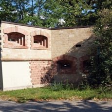
Rheingauwall is a 19th century fortification that extends from the Hartenberg-Münchfeld district through to Mombach in Mainz. The defensive wall follows a geometric layout using rectangular structures rather than the curved bastions typical of earlier military designs.

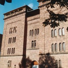
The fortification was built between 1872 and 1879 following negotiations between Mainz authorities and military officials in the aftermath of the Franco-Prussian War. It connected to the existing city defense system at Bastion Alexander and concluded at a recently constructed river fort.

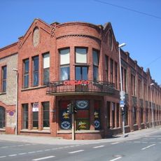
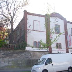
The wall system incorporated multiple military structures, including Fort Hartenberg, Fort Hartmühl, and the Cavalier Prince Holstein with their distinct architectural elements.

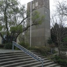
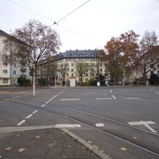
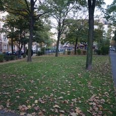
The location is accessible on foot and runs through mostly built-up areas of the city. Parts of the fortification structure remain visible in the neighborhood's layout today, though the original walls were removed over a century ago.

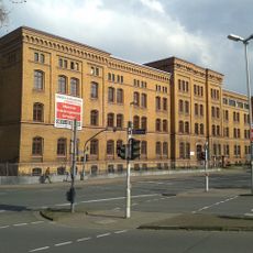
After its demolition in 1904, the site was converted into an industrial area and later the university hospital was built starting in 1911. The transformation reveals how the city repurposed the former defensive landscape for contemporary development.

The community of curious travelers

AroundUs brings together thousands of curated places, local tips, and hidden gems, enriched daily by 60,000 contributors worldwide.

Start exploring
Location
GPS coordinates
50.01270,8.24457
Latest update
December 14, 2025 17:02
Reviews
Share your experience

No review yet

Discussions
Start a discussion...

No discussion yet

« Rheingauwall - 19th century city fortifications in Mainz, Germany » is provided by Around Us (aroundus.com). Images and texts are derived from Wikimedia project under a Creative Commons license. You are allowed to copy, distribute, and modify copies of this page, under the conditions set by the license, as long as this note is clearly visible.

Discover hidden gems everywhere you go!

From secret cafés to breathtaking viewpoints, skip the crowded tourist spots and find places that match your style. Our app makes it easy with voice search, smart filtering, route optimization, and insider tips from travelers worldwide. Download now for the complete mobile experience.

Around Us App Screenshot

A unique approach to discovering new places

Le Figaro

All the places worth exploring

France Info

A tailor-made excursion in just a few clicks

20 Minutes

Around Us
Travel Guide & Maps
Download

Send to your phone

QR Code
1

Open the camera app on your mobile.

2

Point at the QR code with your camera. A notification will appear.

3

Tap the notification to open the link.