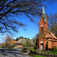
Wilseder Berg, Mountain peak in Bispingen, Germany.
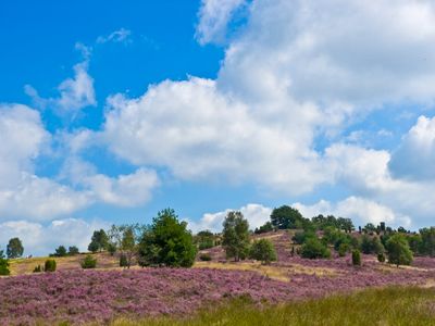
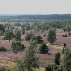
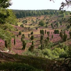
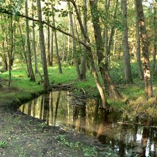
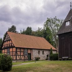
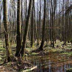
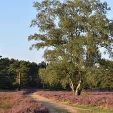
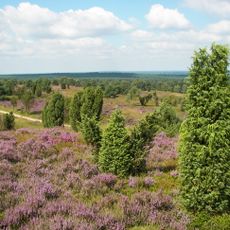
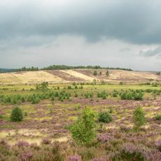
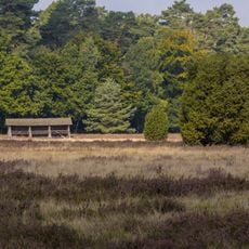
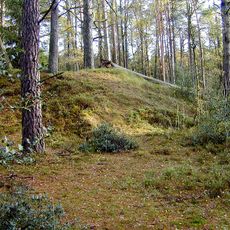
Wilseder Berg is the highest point within the Lüneburg Heath nature reserve and stands at about 169 meters above sea level. Open heathland surrounds the hill and provides wide views across the flat terrain from the top.
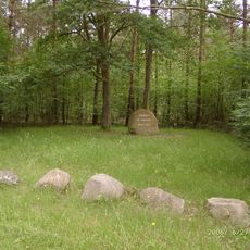
Carl Friedrich Gauss used this hill in 1820 as a surveying station to map the Kingdom of Hanover. The site became an important point in the history of land measurement in the region.
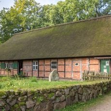
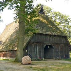
The Heidschnucke sheep grazing on the heathland here are part of a long tradition that shapes how the landscape looks and functions today. Local people have used these animals for generations to keep the open terrain from becoming overgrown with trees.
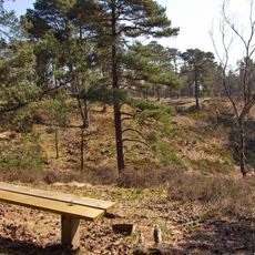
You can reach the summit on foot via marked walking paths or by horse-drawn carriage, as motor vehicles are not allowed in the nature reserve. This keeps the experience quiet and natural without road noise.
A metal cone marker on the summit shows distances and directions to nearby towns. On clear days, you can even see Hamburg's television tower from here.
The community of curious travelers
AroundUs brings together thousands of curated places, local tips, and hidden gems, enriched daily by 60,000 contributors worldwide.